Channel & Berth Profile
Pilotage, Tugs & Services
Pilotage compulsoryYES
Tug assistanceNO
Salvage tugsNO
Shore powerYES
Potable waterYES
Diesel bunkersYES
MedicalYES
Facilities & Capabilities
Container—
Ro-Ro—
Liquid bulk—
Dry bulk—
Oil terminal—
Break bulk—
Dry dock—
RepairsNO
BunkeringYES
Rail link—
Dangerous cargo—
ISPS security—
Harbour Specifications
Harbour size
Small
Harbour type
Coastal (Natural)
Shelter
Excellent
Water body
Lake Michigan; Great Lakes
Overhead limit
Yes
Pilotage
Yes
Location
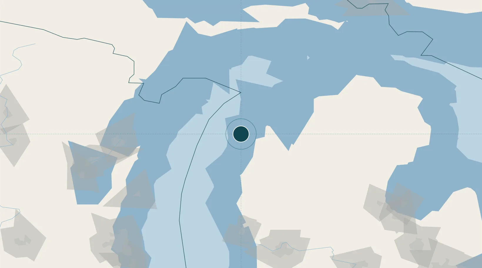
Nearby Logistics Neighbours
Ports
- 1Manistee43 km
- 2Traverse City52 km
- 3Ludington78 km
- 4Sturgeon Bay92 km
- 5Algoma94 km
Cities
- 1Thompsonville28 km
- 2Grawn45 km
- 3Suttons Bay60 km
- 4Williamsburg69 km
- 5Northport73 km
Airports
- 1Manistee County Blacker Airport40 km
- 2Cherry Capital Airport54 km
- 3Charlevoix Municipal Airport107 km
- 4Beaver Island Airport129 km
- 5Welke Airport134 km
Trade Zones
- 1FTZ No. 019 Omaha154 km
- 2FTZ No. 189 Kent Ottawa/Muskegon Counties155 km
- 3FTZ No. 167 Brown County163 km
- 4FTZ No. 101 Clinton County224 km
- 5FTZ No. 041 Milwaukee230 km
DatabookThe Record of Consolidated Knowledge
United States beyond logistics?