Transport Functions
Rail
Road
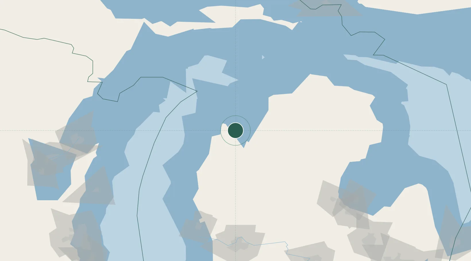
Hub Profile
Place type
Populated place
Region
Michigan
Population
772
Time zone
America/Detroit
Elevation
267 m
Location
Nearby Logistics Neighbours
Cities
- 1Thompsonville25 km
- 2Williamsburg26 km
- 3Suttons Bay35 km
- 4Frankfort44 km
- 5Northport52 km
Ports
- 1Traverse City14 km
- 2Frankfort45 km
- 3Manistee67 km
- 4Charlevoix81 km
- 5Petoskey98 km
Airports
- 1Cherry Capital Airport13 km
- 2Manistee County Blacker Airport61 km
- 3Charlevoix Municipal Airport80 km
- 4Beaver Island Airport116 km
- 5Welke Airport120 km
Trade Zones
- 1FTZ No. 189 Kent Ottawa/Muskegon Counties165 km
- 2FTZ No. 019 Omaha173 km
- 3FTZ No. 101 Clinton County204 km
- 4FTZ No. 167 Brown County207 km
- 5FTZ No. 016 Sault Ste. Marie227 km
DatabookThe Record of Consolidated Knowledge
United States beyond logistics?