Transport Functions
Multimodal
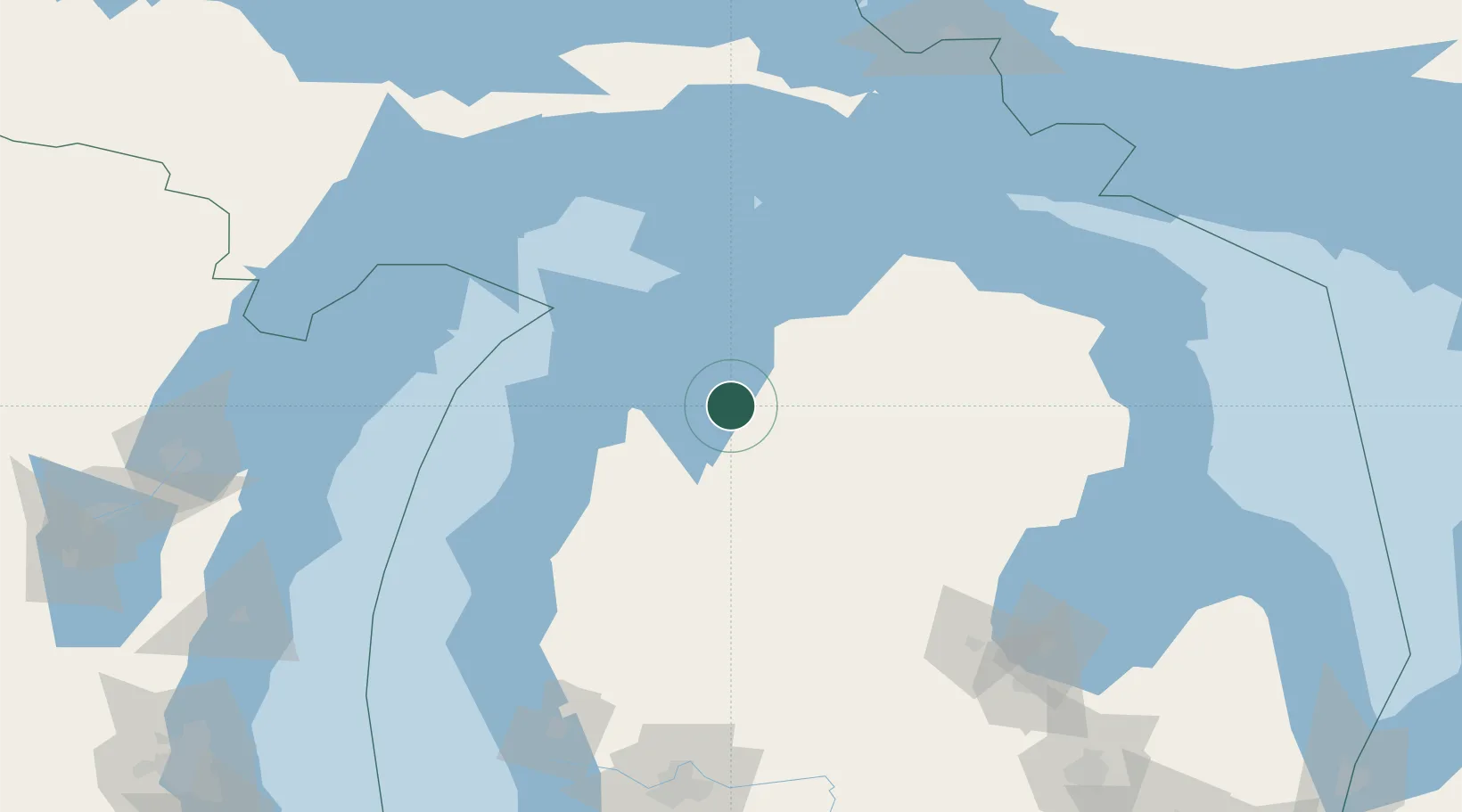
Hub Profile
Place type
Populated place
Region
Michigan
Time zone
America/Detroit
Elevation
225 m
Location
Nearby Logistics Neighbours
Cities
- 1Grawn26 km
- 2Suttons Bay30 km
- 3Central Lake35 km
- 4Northport43 km
- 5Thompsonville51 km
Ports
- 1Traverse City17 km
- 2Charlevoix62 km
- 3Frankfort69 km
- 4Petoskey75 km
- 5Harbor Springs81 km
Airports
Trade Zones
- 1FTZ No. 189 Kent Ottawa/Muskegon Counties185 km
- 2FTZ No. 019 Omaha196 km
- 3FTZ No. 016 Sault Ste. Marie206 km
- 4FTZ No. 101 Clinton County209 km
- 5FTZ No. 284 Genesee County227 km
DatabookThe Record of Consolidated Knowledge
United States beyond logistics?