UN/LOCODE hub · United States
USZYY
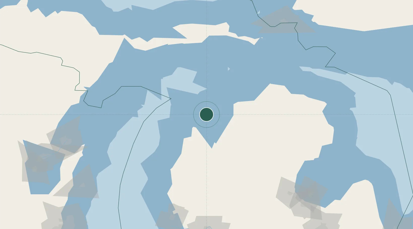
Suttons Bay
44.9667°, -85.6500°
626
Population
3
Transport functions
Transport Functions
Port
Rail
Road
Hub Profile
Place type
Populated place
Region
Michigan
Population
626
Time zone
America/Detroit
Elevation
182 m
Location
Nearby Logistics Neighbours
Cities
- 1Northport17 km
- 2Williamsburg30 km
- 3Central Lake33 km
- 4Grawn35 km
- 5Thompsonville55 km
Ports
- 1Traverse City22 km
- 2Charlevoix49 km
- 3Frankfort60 km
- 4Petoskey70 km
- 5Harbor Springs74 km
Airports
- 1Cherry Capital Airport26 km
- 2Charlevoix Municipal Airport48 km
- 3Beaver Island Airport81 km
- 4Welke Airport84 km
- 5Manistee County Blacker Airport91 km
Trade Zones
- 1FTZ No. 016 Sault Ste. Marie194 km
- 2FTZ No. 189 Kent Ottawa/Muskegon Counties199 km
- 3FTZ No. 019 Omaha206 km
- 4FTZ No. 167 Brown County216 km
- 5FTZ No. 101 Clinton County236 km
DatabookThe Record of Consolidated Knowledge
United States beyond logistics?