UN/LOCODE hub · United States
USTHL
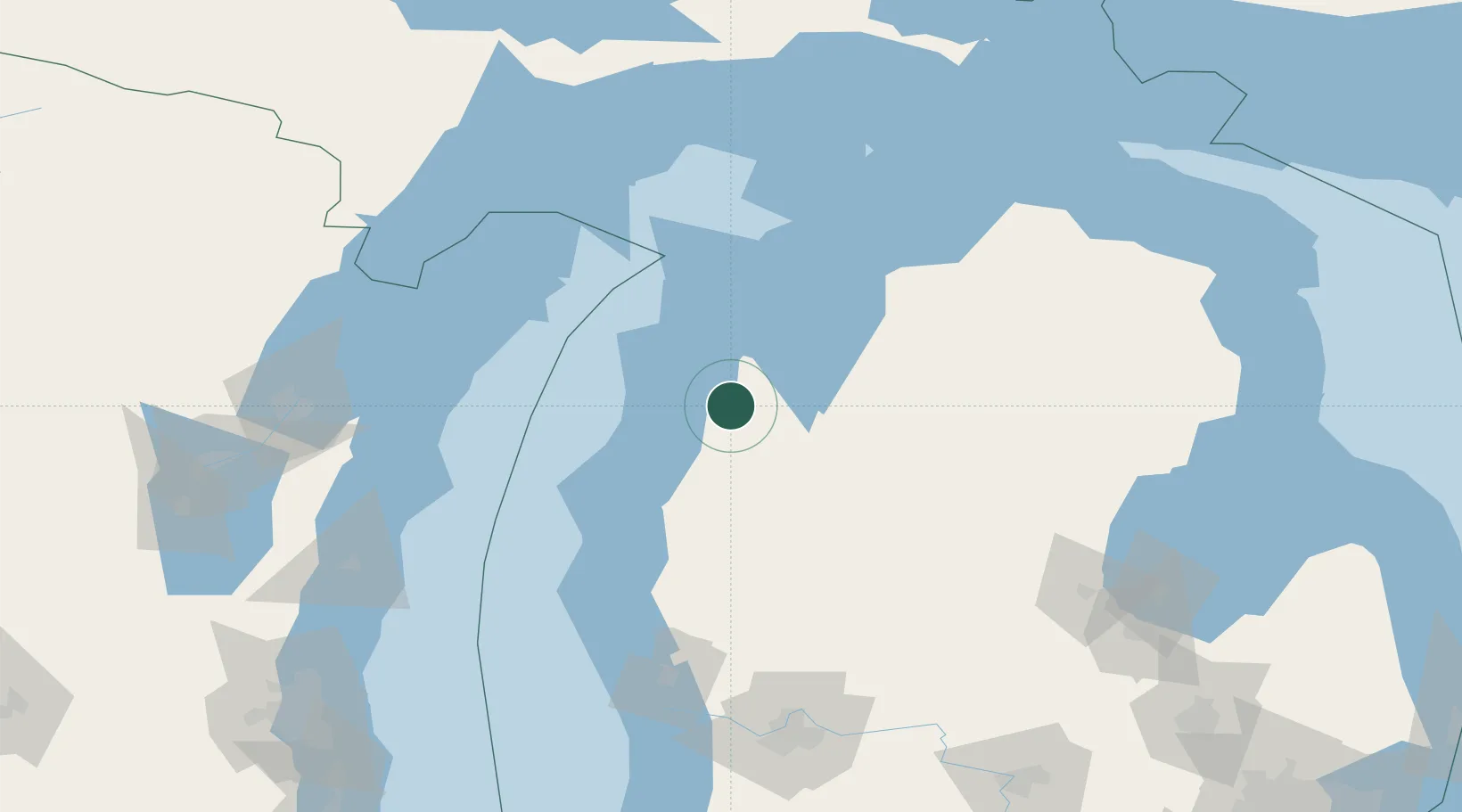
Thompsonville
44.5167°, -85.9333°
435
Population
3
Transport functions
Transport Functions
Rail
Road
Multimodal
Hub Profile
Place type
Populated place
Region
Michigan
Population
435
Time zone
America/Detroit
Elevation
242 m
Location
Nearby Logistics Neighbours
Cities
- 1Grawn25 km
- 2Frankfort27 km
- 3Williamsburg51 km
- 4Suttons Bay55 km
- 5McBain67 km
Ports
- 1Frankfort28 km
- 2Traverse City37 km
- 3Manistee43 km
- 4Ludington75 km
- 5Charlevoix103 km
Airports
- 1Manistee County Blacker Airport37 km
- 2Cherry Capital Airport37 km
- 3Charlevoix Municipal Airport102 km
- 4Beaver Island Airport134 km
- 5Welke Airport138 km
Trade Zones
- 1FTZ No. 189 Kent Ottawa/Muskegon Counties145 km
- 2FTZ No. 019 Omaha151 km
- 3FTZ No. 167 Brown County187 km
- 4FTZ No. 101 Clinton County199 km
- 5FTZ No. 284 Genesee County231 km
DatabookThe Record of Consolidated Knowledge
United States beyond logistics?