Channel & Berth Profile
Pilotage, Tugs & Services
Pilotage compulsoryYES
Tug assistanceNO
Salvage tugsNO
Shore powerYES
Potable waterYES
Diesel bunkersYES
MedicalYES
Facilities & Capabilities
Container—
Ro-Ro—
Liquid bulk—
Dry bulk—
Oil terminal—
Break bulk—
Dry dock—
RepairsNO
BunkeringYES
Rail link—
Dangerous cargo—
ISPS security—
Harbour Specifications
Harbour size
Small
Harbour type
River (Natural)
Shelter
Excellent
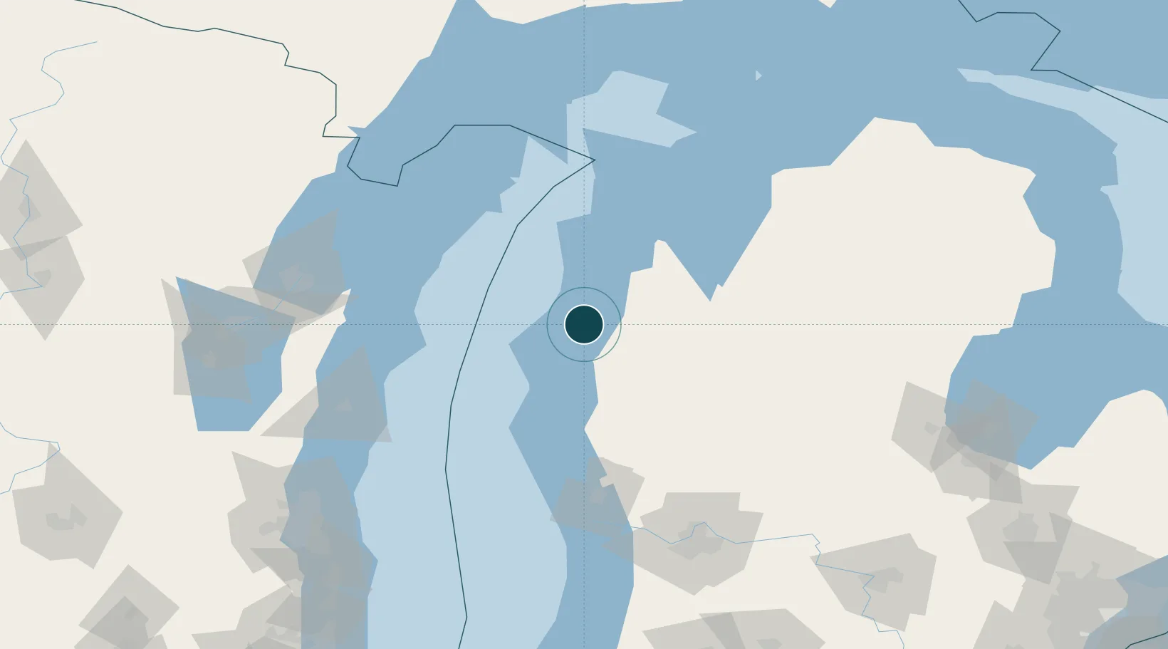
Water body
Lake Michigan; Great Lakes
Overhead limit
Yes
Pilotage
Yes
Location
Nearby Logistics Neighbours
Ports
- 1Ludington35 km
- 2Frankfort43 km
- 3Traverse City80 km
- 4White Lake96 km
- 5Algoma97 km
Cities
- 1Thompsonville43 km
- 2Frankfort43 km
- 3Pentwater54 km
- 4Baldwin55 km
- 5Grawn67 km
Airports
Trade Zones
- 1FTZ No. 019 Omaha112 km
- 2FTZ No. 189 Kent Ottawa/Muskegon Counties113 km
- 3FTZ No. 167 Brown County158 km
- 4FTZ No. 101 Clinton County193 km
- 5FTZ No. 041 Milwaukee196 km
DatabookThe Record of Consolidated Knowledge
United States beyond logistics?