Channel & Berth Profile
Pilotage, Tugs & Services
Pilotage compulsoryYES
Tug assistanceNO
Salvage tugsNO
Shore powerYES
Potable waterYES
Diesel bunkersYES
MedicalYES
Facilities & Capabilities
Container—
Ro-Ro—
Liquid bulk—
Dry bulk—
Oil terminal—
Break bulk—
Dry dock—
RepairsNO
BunkeringYES
Rail link—
Dangerous cargo—
ISPS security—
Harbour Specifications
Harbour size
Very Small
Harbour type
Coastal (Natural)
Shelter
Excellent
Water body
Lake Michigan; Great Lakes
Overhead limit
No
Pilotage
Yes
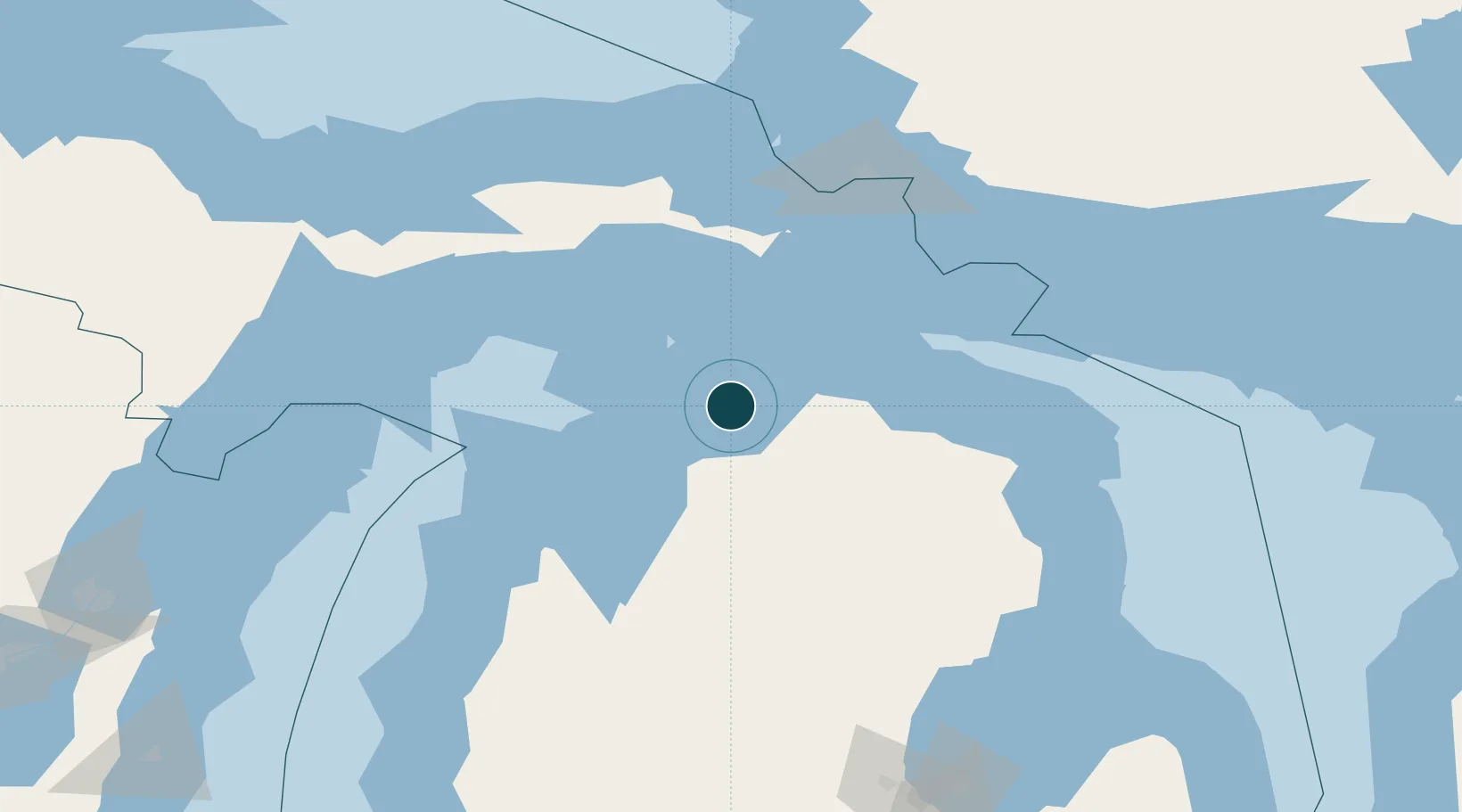
Location
Nearby Logistics Neighbours
Ports
- 1Petoskey8 km
- 2Charlevoix26 km
- 3Mackinaw City44 km
- 4Cheboygan47 km
- 5Mackinac Island54 km
Cities
- 1Conway9 km
- 2Alanson16 km
- 3Pellston20 km
- 4Boyne City24 km
- 5Boyne Falls30 km
Airports
Trade Zones
- 1FTZ No. 016 Sault Ste. Marie125 km
- 2FTZ No. 189 Kent Ottawa/Muskegon Counties266 km
- 3FTZ No. 019 Omaha276 km
- 4FTZ No. 101 Clinton County278 km
- 5FTZ No. 167 Brown County282 km
DatabookThe Record of Consolidated Knowledge
United States beyond logistics?