Transport Functions
Road
Multimodal
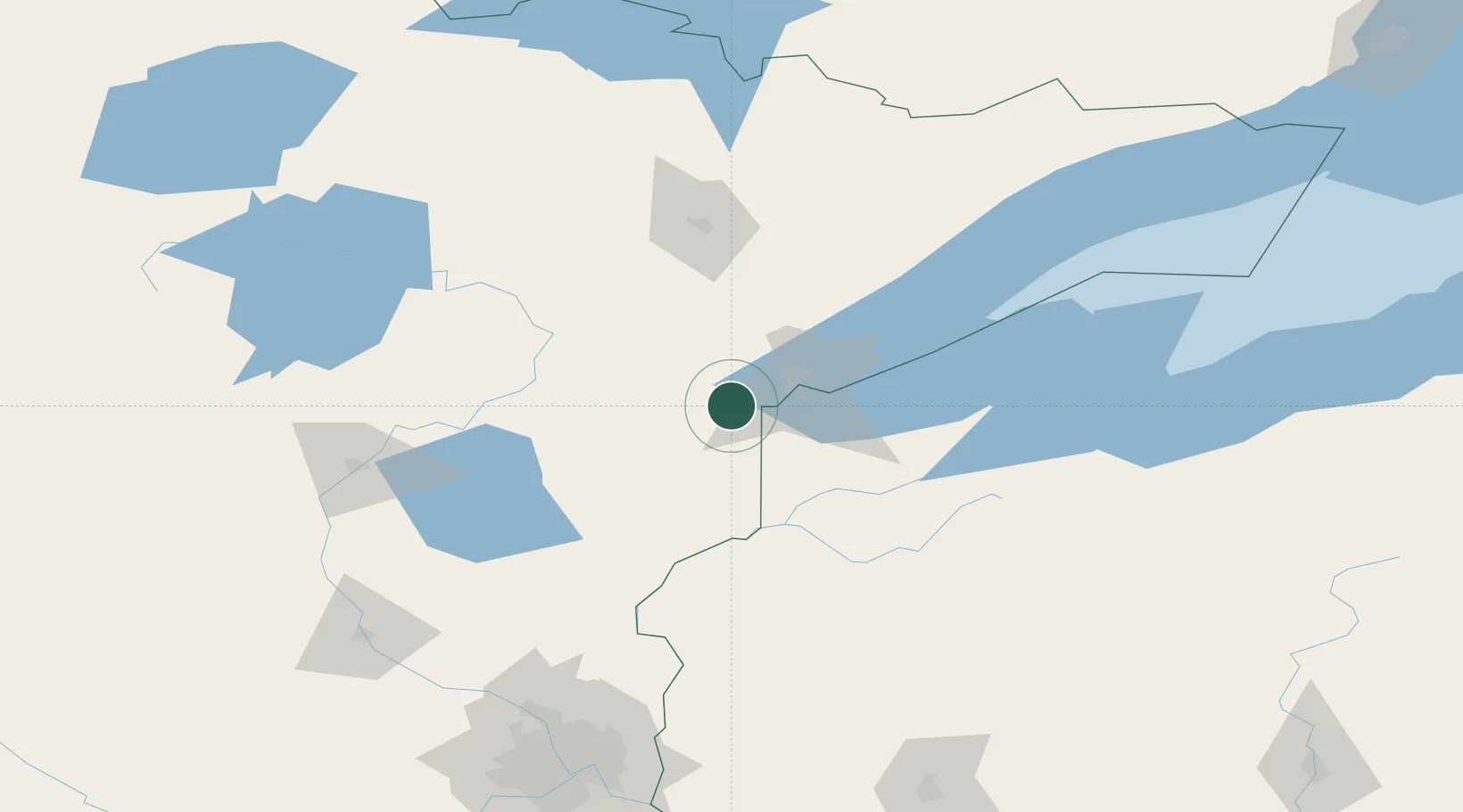
Hub Profile
Place type
Provincial seat
Region
Minnesota
Population
1,048
Time zone
America/Chicago
Elevation
330 m
Logistics facilities
1
Location
Nearby Logistics Neighbours
Ports
- 1Duluth28 km
- 2Superior29 km
- 3Two Harbors71 km
- 4Washburn118 km
- 5Ashland120 km
Airports
- 1Duluth International Airport26 km
- 2Range Regional Airport86 km
- 3Sawyer County Airport104 km
- 4Brainerd Lakes Regional Airport133 km
- 5Ely Municipal Airport137 km
Trade Zones
- 1FTZ No. 051 Duluth18 km
- 2FTZ No. 119 Minneapolis-St. Paul199 km
- 3FTZ No. 259 Koochiching County228 km
- 4FTZ No. 267 Fargo346 km
- 5FTZ No. 103 Grand Forks383 km
DatabookThe Record of Consolidated Knowledge
United States beyond logistics?