Transport Functions
Rail
Road
Hub Profile
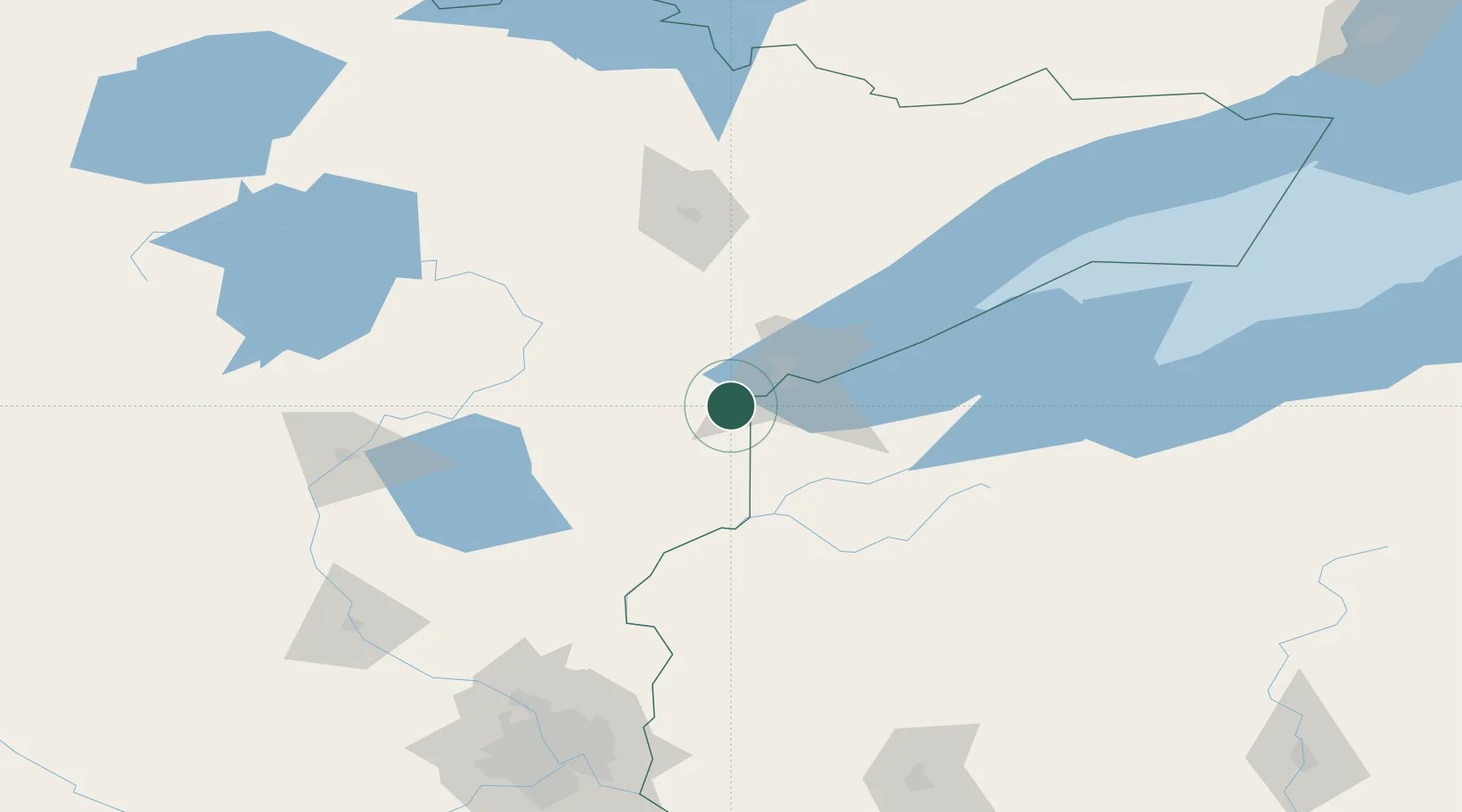
Place type
Populated place
Region
Minnesota
Population
407
Time zone
America/Chicago
Elevation
317 m
Location
Nearby Logistics Neighbours
Ports
- 1Duluth27 km
- 2Superior27 km
- 3Two Harbors71 km
- 4Washburn115 km
- 5Ashland116 km
Airports
- 1Duluth International Airport29 km
- 2Range Regional Airport92 km
- 3Sawyer County Airport98 km
- 4Brainerd Lakes Regional Airport136 km
- 5Ely Municipal Airport141 km
Trade Zones
- 1FTZ No. 051 Duluth19 km
- 2FTZ No. 119 Minneapolis-St. Paul195 km
- 3FTZ No. 259 Koochiching County235 km
- 4FTZ No. 267 Fargo350 km
- 5FTZ No. 103 Grand Forks389 km
DatabookThe Record of Consolidated Knowledge
United States beyond logistics?