Transport Functions
Road
Multimodal
Hub Profile
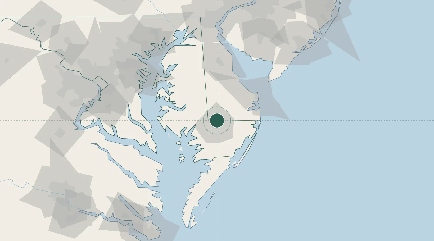
Place type
Populated place
Region
Delaware
Population
1,730
Time zone
America/New_York
Elevation
16 m
Location
Nearby Logistics Neighbours
Ports
- 1Salisbury9 km
- 2Ocean City46 km
- 3Solomons Island77 km
- 4Piney Point90 km
- 5Annapolis98 km
Airports
Trade Zones
- 1FTZ No. 142 Salem Millville112 km
- 2FTZ No. 073 BWI Airport124 km
- 3FTZ No. 074 Baltimore127 km
- 4FTZ No. 063 PrInce Georges County143 km
- 5FTZ No. 099 Wilmington144 km
DatabookThe Record of Consolidated Knowledge
United States beyond logistics?