Transport Functions
Port
Hub Profile
Place type
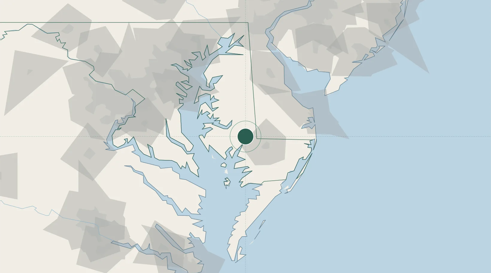
Populated place
Region
Maryland
Population
276
Time zone
America/New_York
Elevation
4 m
Location
Nearby Logistics Neighbours
Cities
- 1Delmar21 km
- 2Delmar21 km
- 3Laurel23 km
- 4Fruitland25 km
- 5Bridgeville35 km
Ports
- 1Salisbury23 km
- 2Solomons Island58 km
- 3Ocean City66 km
- 4Piney Point74 km
- 5Annapolis80 km
Airports
Trade Zones
- 1FTZ No. 073 BWI Airport107 km
- 2FTZ No. 074 Baltimore111 km
- 3FTZ No. 142 Salem Millville117 km
- 4FTZ No. 063 PrInce Georges County123 km
- 5FTZ No. 099 Wilmington142 km
DatabookThe Record of Consolidated Knowledge
United States beyond logistics?