Transport Functions
Port
Rail
Road
Airport
Multimodal
Hub Profile
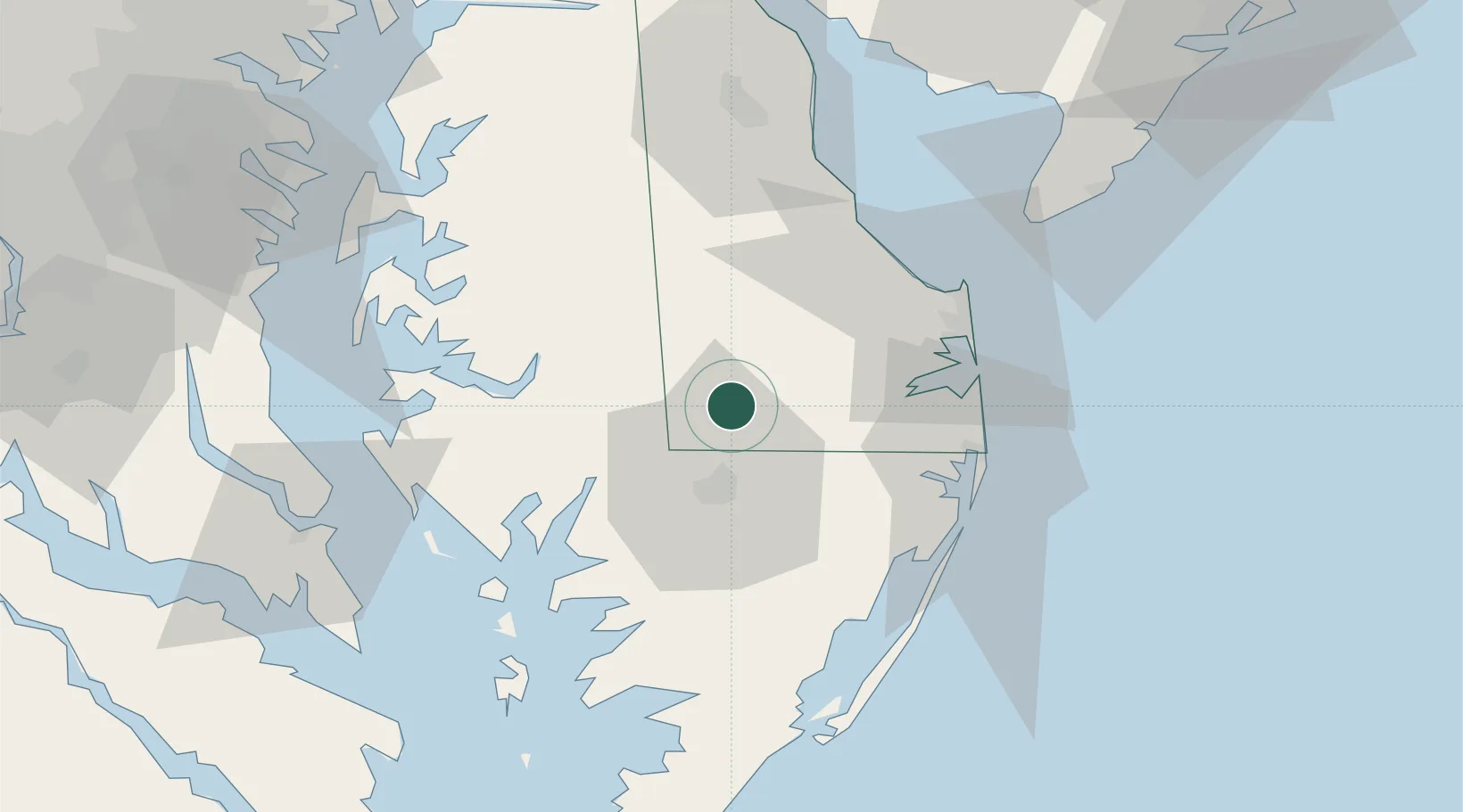
Place type
Populated place
Region
Delaware
Population
4,075
Time zone
America/New_York
Elevation
8 m
Location
Nearby Logistics Neighbours
Cities
- 1Delmar11 km
- 2Delmar11 km
- 3Bridgeville22 km
- 4Vienna23 km
- 5Fruitland26 km
Ports
- 1Salisbury21 km
- 2Ocean City49 km
- 3Solomons Island81 km
- 4Annapolis93 km
- 5Piney Point96 km
Airports
Trade Zones
- 1FTZ No. 142 Salem Millville101 km
- 2FTZ No. 073 BWI Airport118 km
- 3FTZ No. 074 Baltimore120 km
- 4FTZ No. 099 Wilmington133 km
- 5FTZ No. 063 PrInce Georges County142 km
DatabookThe Record of Consolidated Knowledge
United States beyond logistics?