Channel & Berth Profile
Pilotage, Tugs & Services
Pilotage compulsoryYES
Pilotage availableYES
Facilities & Capabilities
Container—
Ro-Ro—
Liquid bulk—
Dry bulk—
Oil terminal—
Break bulk—
Dry dock—
RepairsNO
Bunkering—
Rail link—
Dangerous cargo—
ISPS security—
Harbour Specifications
Harbour size
Very Small
Harbour type
River (Natural)
Shelter
Excellent
Water body
North Pacific Ocean
Tidal range
1.5 m
Pilotage
Yes
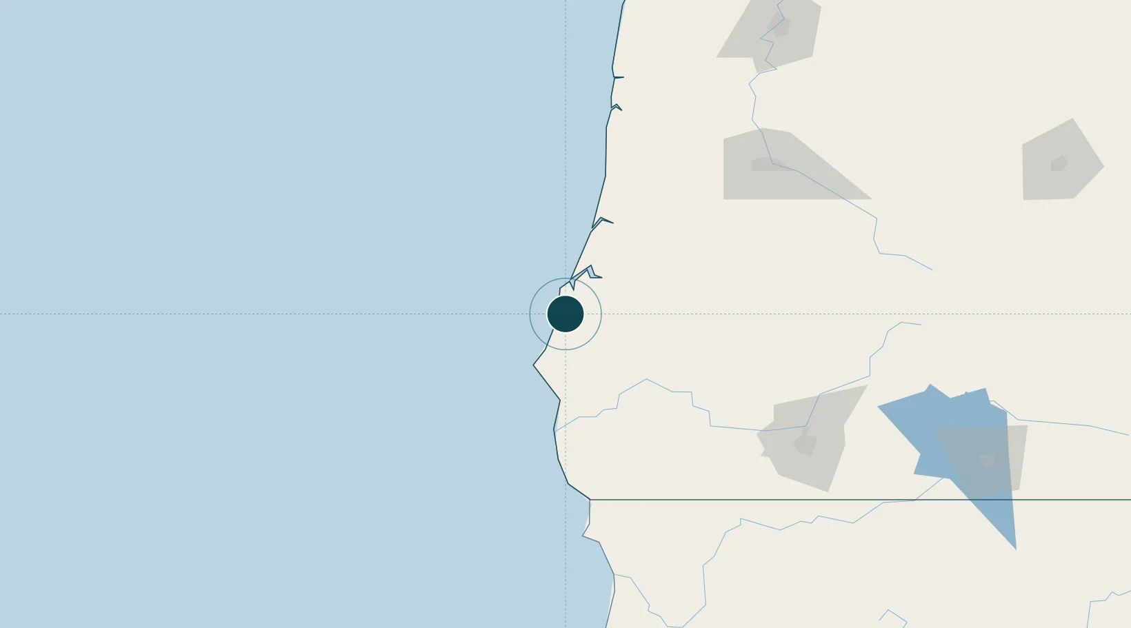
Location
Nearby Logistics Neighbours
Ports
- 1Bandon6 km
- 2Coos Bay27 km
- 3North Bend30 km
- 4Port Orford48 km
- 5Gardiner67 km
Cities
- 1Coquille15 km
- 2Cape Blanco39 km
- 3Port Orford46 km
- 4Umpqua76 km
- 5Glendale90 km
Airports
Trade Zones
- 1FTZ No. 132 Coos County27 km
- 2FTZ No. 248 Eureka262 km
- 3FTZ No. 255 Washington County278 km
- 4FTZ No. 045 Portland294 km
- 5FTZ No. 296 Vancouver307 km
DatabookThe Record of Consolidated Knowledge
United States beyond logistics?