Transport Functions
Port
Road
Hub Profile
Place type
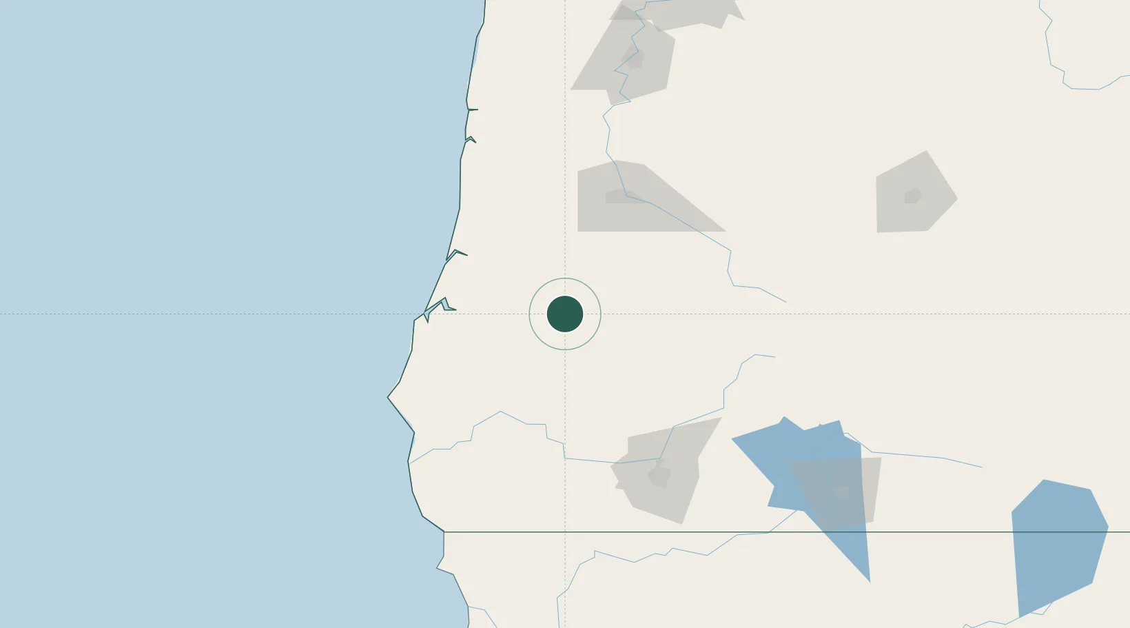
Populated place
Region
Oregon
Population
112
Time zone
America/Los_Angeles
Elevation
98 m
Location
Nearby Logistics Neighbours
Cities
- 1Oakland18 km
- 2Drain36 km
- 3Days Creek49 km
- 4Cottage Grove59 km
- 5Coquille61 km
Ports
- 1Coos Bay61 km
- 2North Bend61 km
- 3Gardiner65 km
- 4Prosper76 km
- 5Bandon81 km
Airports
Trade Zones
- 1FTZ No. 132 Coos County61 km
- 2FTZ No. 255 Washington County245 km
- 3FTZ No. 045 Portland250 km
- 4FTZ No. 296 Vancouver262 km
- 5FTZ No. 248 Eureka289 km
DatabookThe Record of Consolidated Knowledge
United States beyond logistics?