Medium airport · United States
Eugene AirportKEUG
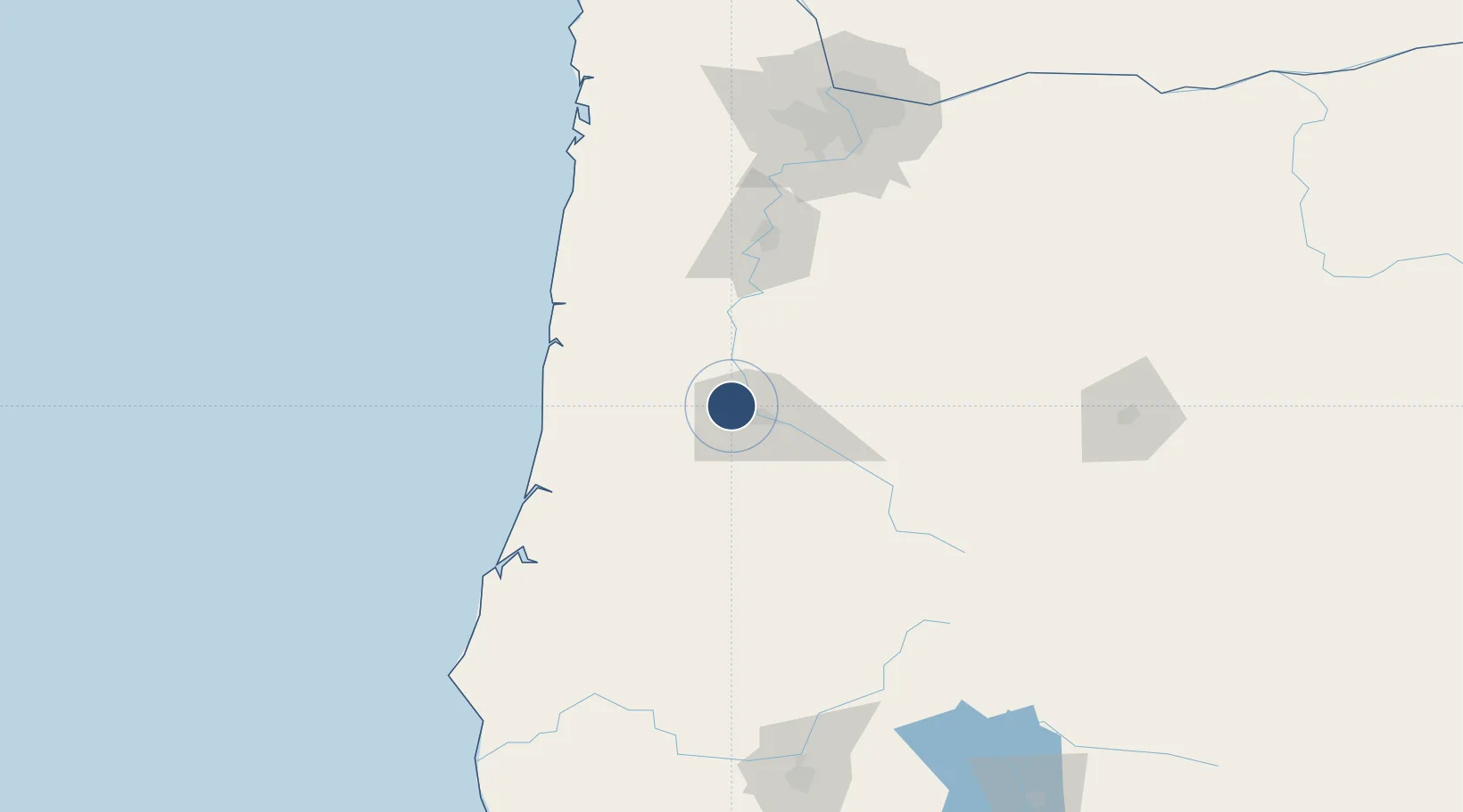
44.1246°, -123.2120°
8,009 ft
Longest runway
2
Runways
374 ft
Elevation
Runway & Layout

Radio Frequencies
ATIS
125.225 MHz
TWR
118.9 MHz
EUGENE TWR
GND
121.7 MHz
CLD
121.7 MHz
EUGENE CLNC DEL
CTAF
118.9 MHz
A/D
119.6 MHz
CASCADE APP/DEP
RDO
122.3 MHz
MC MINNVILLE RDO
UNIC
122.95 MHz
UNICOM
Navaids
EU NDB Frakk 260 kHz
EUG VORTAC Eugene 112.90 MHz
Runways · 2
| Runway | Dimensions | Surface | True heading | Lit |
|---|---|---|---|---|
| 16R/34L | 8,009 × 150ft | Asphalt | 179° | ✓ |
| 16L/34R | 6,000 × 150ft | Asphalt | 179° | ✓ |
Airport Specifications
IATA code
EUG
ICAO code
KEUG
Airport class
Medium airport
Scheduled service
Yes
Runway surface
Asphalt
Served city
Eugene
Location
Nearby Logistics Neighbours
Airports
Cities
- 1Junction City10 km
- 2Harrisburg16 km
- 3Noti20 km
- 4Monroe23 km
- 5Tulsa29 km
Ports
- 1Florence74 km
- 2Toledo79 km
- 3Gardiner84 km
- 4Newport87 km
- 5North Bend114 km
Trade Zones
- 1FTZ No. 132 Coos County117 km
- 2FTZ No. 255 Washington County159 km
- 3FTZ No. 045 Portland161 km
- 4FTZ No. 296 Vancouver173 km
- 5FTZ No. 120 Cowlitz County222 km
DatabookThe Record of Consolidated Knowledge
United States beyond logistics?