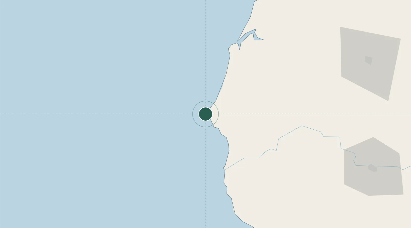
UN/LOCODE hub · United States
USPB7

Cape Blanco

42.8333°, -124.5667°
1
Transport functions

Transport Functions

Port
UN/LOCODE

Hub Profile

Region
OR
GeoNames

Location

Location of USPB7
Natural Earth 10m (public domain) · OR · USPB7 · 42.83, -124.57GoogleOSMYandex

Nearby Logistics Neighbours

Cities
  1. 1Port Orford11 km
  2. 2Coquille50 km
  3. 3Harbor91 km
  4. 4Glendale95 km
  5. 5Selma101 km
Nearest neighbours — logibook spatial index (haversine) over the source coordinates
Ports
  1. 1Port Orford12 km
  2. 2Bandon34 km
  3. 3Prosper39 km
  4. 4Coos Bay66 km
  5. 5North Bend69 km
Nearest neighbours — logibook spatial index (haversine) over the source coordinates
Airports
  1. 1Southwest Oregon Regional Airport70 km
  2. 2Jack Mc Namara Field Airport120 km
  3. 3Rogue Valley International-Medford Airport148 km
  4. 4Eugene Airport180 km
  5. 5Newport Municipal Airport199 km
Nearest neighbours — logibook spatial index (haversine) over the source coordinates
Trade Zones
  1. 1FTZ No. 132 Coos County66 km
  2. 2FTZ No. 248 Eureka228 km
  3. 3FTZ No. 255 Washington County316 km
  4. 4FTZ No. 045 Portland333 km
  5. 5FTZ No. 296 Vancouver346 km
Nearest neighbours — logibook spatial index (haversine) over the source coordinates
DatabookThe Record of Consolidated Knowledge
United States beyond logistics?
Browse databook

All Sources

LocationsUN/LOCODE
UN/LOCODE — free
Portsthe NGA World Port Index
Public domain (US gov)
AirportsOurAirports
Public domain
Trade Zonesthe World Bank SEZ database
CC BY 4.0
Trade ZonesOpen Zone Map
CC BY
← United States locations