Channel & Berth Profile
Pilotage, Tugs & Services
Pilotage compulsoryYES
Pilotage availableYES
Facilities & Capabilities
Container—
Ro-Ro—
Liquid bulk—
Dry bulk—
Oil terminal—
Break bulk—
Dry dock—
Repairs—
Bunkering—
Rail link—
Dangerous cargo—
ISPS security—
Harbour Specifications
Harbour size
Very Small
Harbour type
River (Natural)
Shelter
Excellent
Water body
North Pacific Ocean
Tidal range
1.5 m
Pilotage
Yes
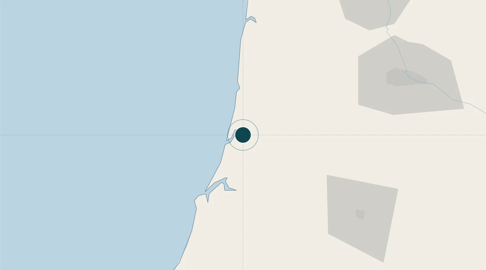
Location
Nearby Logistics Neighbours
Ports
- 1Florence28 km
- 2North Bend36 km
- 3Coos Bay40 km
- 4Prosper67 km
- 5Bandon72 km
Airports
Trade Zones
- 1FTZ No. 132 Coos County40 km
- 2FTZ No. 255 Washington County211 km
- 3FTZ No. 045 Portland228 km
- 4FTZ No. 296 Vancouver241 km
- 5FTZ No. 120 Cowlitz County281 km
DatabookThe Record of Consolidated Knowledge
United States beyond logistics?