Transport Functions
Port
Road
Hub Profile
Place type
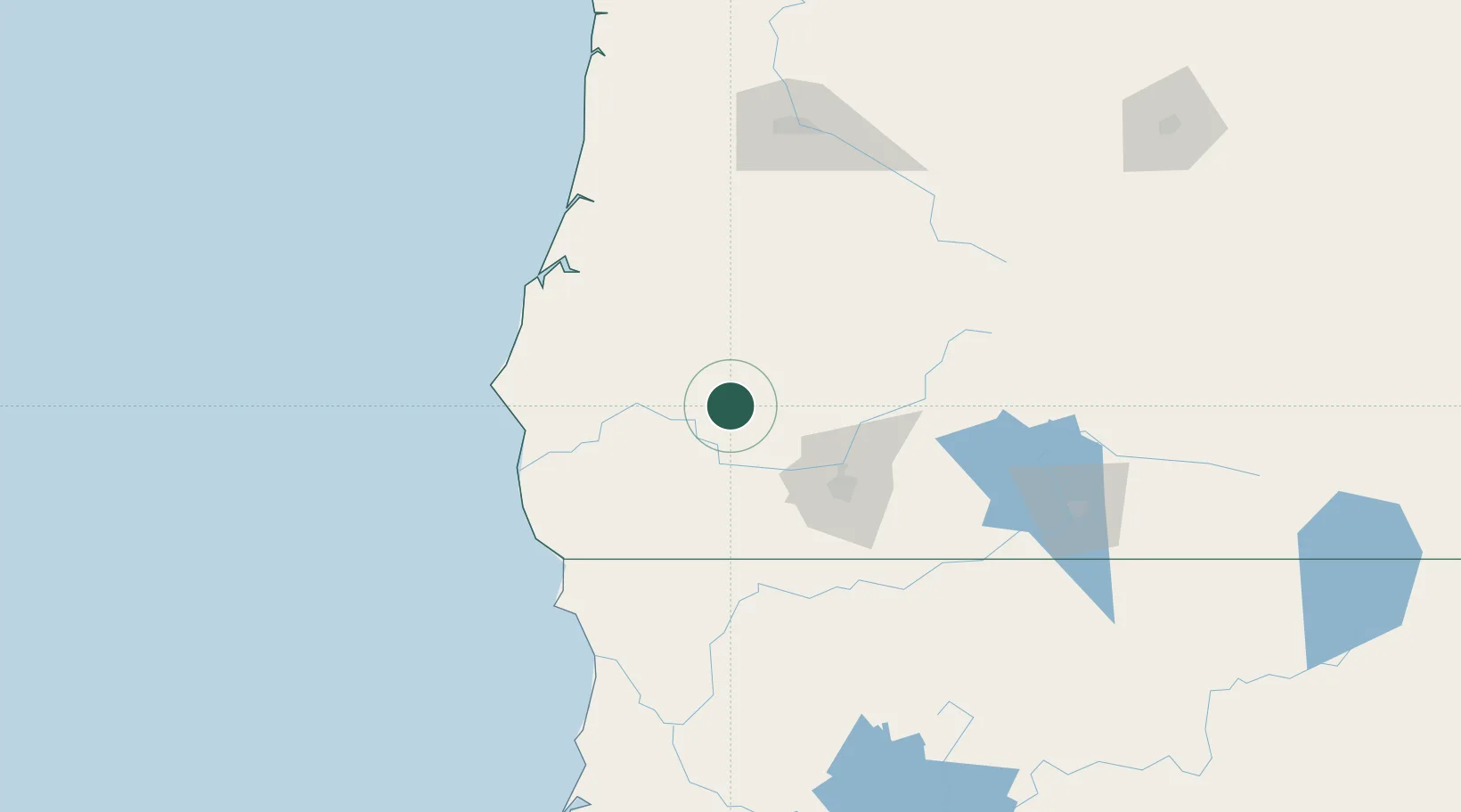
Populated place
Region
Oregon
Population
881
Time zone
America/Los_Angeles
Elevation
437 m
Location
Nearby Logistics Neighbours
Cities
- 1Days Creek33 km
- 2Rogue River39 km
- 3Gold Hill45 km
- 4Selma54 km
- 5Central Point57 km
Ports
- 1Port Orford89 km
- 2Prosper90 km
- 3Bandon92 km
- 4Coos Bay96 km
- 5North Bend99 km
Airports
Trade Zones
- 1FTZ No. 132 Coos County96 km
- 2FTZ No. 248 Eureka223 km
- 3FTZ No. 255 Washington County313 km
- 4FTZ No. 045 Portland316 km
- 5FTZ No. 296 Vancouver328 km
DatabookThe Record of Consolidated Knowledge
United States beyond logistics?