Medium airport · United States

Newport Municipal AirportKONP

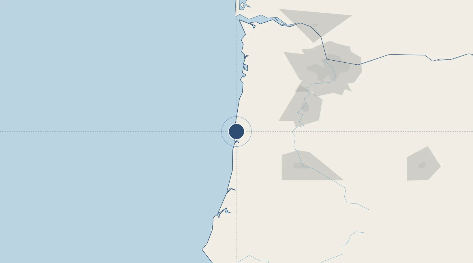
44.5804°, -124.0580°
5,398 ft
Longest runway
2
Runways
160 ft
Elevation

Runway & Layout

Newport Municipal Airport runway & taxiway layout
Runway & taxiway layout — OpenStreetMap (ODbL) / OurAirports

Radio Frequencies

AWOS
133.9 MHz
AWOS 3
CNTR
125.8 MHz
SEATTLE CNTR
UNIC
122.8 MHz
CTAF/UNICOM
OurAirports

Runways · 2

RunwayDimensions SurfaceTrue headingLit
16/34 5,398 × 100ft Asphalt 177°
02/20 3,001 × 75ft Asphalt 037°
OurAirports

Airport Specifications

IATA code
ONP
OurAirports
ICAO code
KONP
OurAirports
Airport class
Medium airport
OurAirports
Scheduled service
No
OurAirports
Runway surface
Asphalt
OurAirports
Served city
Newport
OurAirports

Location

Location of KONP
Natural Earth 10m (public domain) · Oregon · KONP · 44.58, -124.06GoogleOSMYandex

Nearby Logistics Neighbours

Airports
  1. 1Corvallis Municipal Airport62 km
  2. 2Eugene Airport84 km
  3. 3Salem-Willamette Valley Airport/McNary Field91 km
  4. 4McMinnville Municipal Airport100 km
  5. 5Aurora State Airport126 km
Nearest neighbours — logibook spatial index (haversine) over the source coordinates
Cities
  1. 1Newport6 km
  2. 2Seal Rock9 km
  3. 3Lincoln City43 km
  4. 4Philomath56 km
  5. 5Monroe67 km
Nearest neighbours — logibook spatial index (haversine) over the source coordinates
Ports
  1. 1Newport6 km
  2. 2Toledo11 km
  3. 3Florence68 km
  4. 4Gardiner96 km
  5. 5North Bend132 km
Nearest neighbours — logibook spatial index (haversine) over the source coordinates
Trade Zones
  1. 1FTZ No. 255 Washington County120 km
  2. 2FTZ No. 132 Coos County135 km
  3. 3FTZ No. 045 Portland146 km
  4. 4FTZ No. 296 Vancouver159 km
  5. 5FTZ No. 120 Cowlitz County190 km
Nearest neighbours — logibook spatial index (haversine) over the source coordinates
DatabookThe Record of Consolidated Knowledge
United States beyond logistics?
Browse databook

All Sources

AirportsOurAirports
Public domain
Portsthe NGA World Port Index
Public domain (US gov)
LocationsUN/LOCODE
UN/LOCODE — free
Trade Zonesthe World Bank SEZ database
CC BY 4.0
Trade ZonesOpen Zone Map
CC BY
InfrastructureOpenStreetMap
ODbL 1.0
← United States airports