UN/LOCODE hub · United States
USOQL
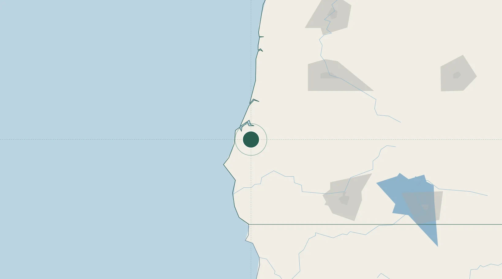
Coquille
43.1833°, -124.1833°
3,858
Population
2
Transport functions
Transport Functions
Road
Multimodal
Hub Profile
Place type
Provincial seat
Region
Oregon
Population
3,858
Time zone
America/Los_Angeles
Elevation
16 m
Location
Nearby Logistics Neighbours
Cities
- 1Cape Blanco50 km
- 2Port Orford55 km
- 3Umpqua61 km
- 4Oakland78 km
- 5Glendale80 km
Ports
- 1Prosper15 km
- 2Bandon20 km
- 3Coos Bay21 km
- 4North Bend24 km
- 5Port Orford56 km
Airports
Trade Zones
- 1FTZ No. 132 Coos County21 km
- 2FTZ No. 248 Eureka265 km
- 3FTZ No. 255 Washington County270 km
- 4FTZ No. 045 Portland285 km
- 5FTZ No. 296 Vancouver298 km
DatabookThe Record of Consolidated Knowledge
United States beyond logistics?