Channel & Berth Profile
Pilotage, Tugs & Services
Pilotage compulsoryYES
Tug assistanceNO
Salvage tugsNO
Shore powerYES
Potable waterYES
Diesel bunkersYES
MedicalYES
Facilities & Capabilities
Container—
Ro-Ro—
Liquid bulk—
Dry bulk—
Oil terminal—
Break bulk—
Dry dock—
RepairsNO
BunkeringYES
Rail linkYES
Dangerous cargo—
ISPS security—
Harbour Specifications
Harbour size
Very Small
Harbour type
Coastal (Natural)
Shelter
Excellent
Water body
North Atlantic Ocean
Tidal range
2.7 m
Overhead limit
No
Pilotage
Yes
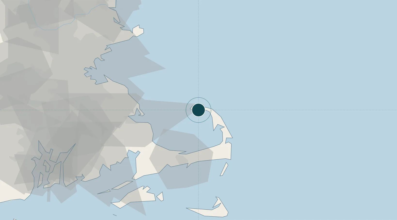
Location
Nearby Logistics Neighbours
Cities
- 1North Truro9 km
- 2Wellfleet18 km
- 3North Eastham25 km
- 4Brewster33 km
- 5Orleans33 km
Airports
Trade Zones
- 1FTZ No. 028 New Bedford80 km
- 2FTZ No. 027 Boston82 km
- 3FTZ No. 105 Providence and North Kingstown108 km
- 4FTZ No. 081 Portsmouth124 km
- 5FTZ No. 208 New London177 km
DatabookThe Record of Consolidated Knowledge
United States beyond logistics?