UN/LOCODE hub · United States
USBCW
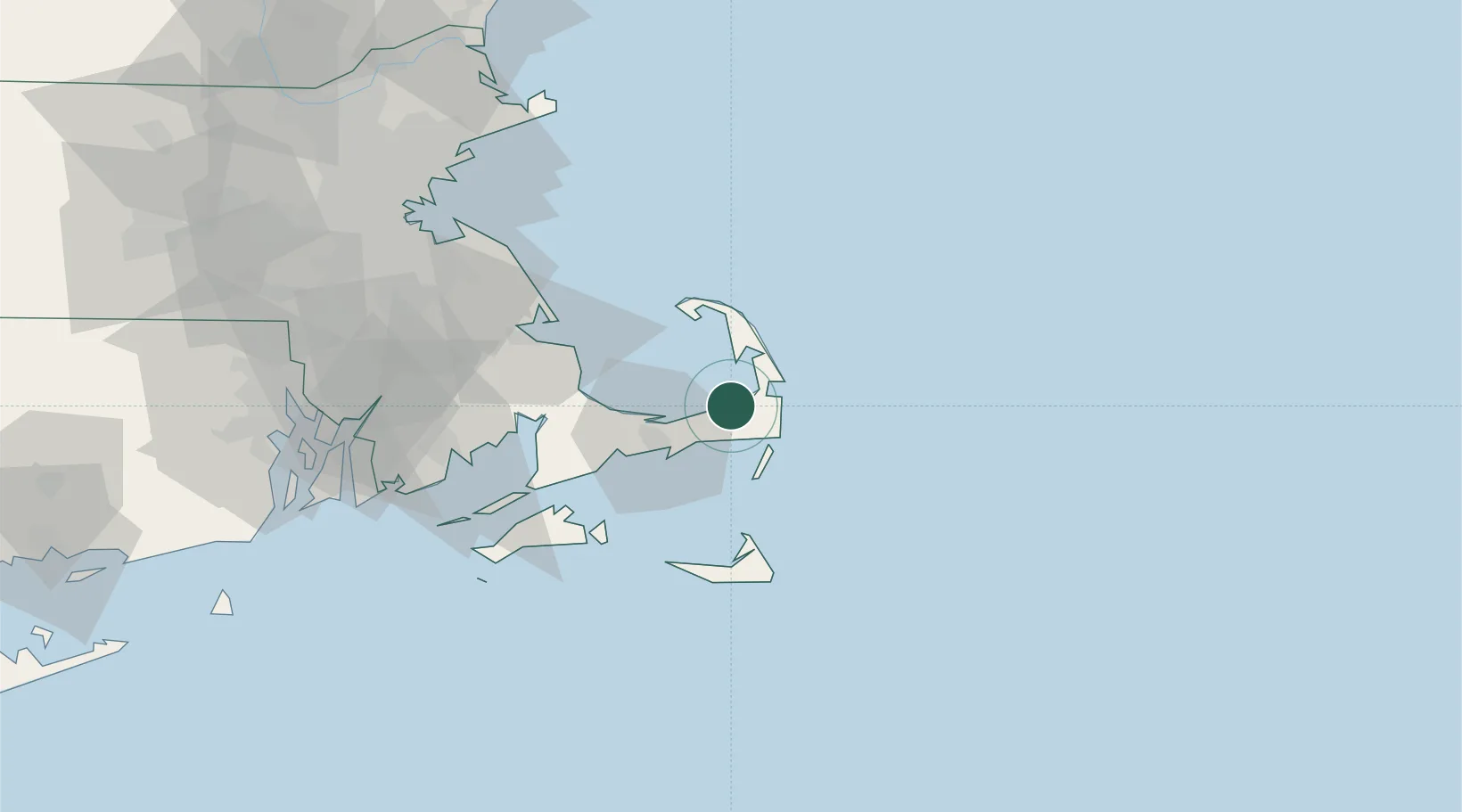
Brewster
41.7667°, -70.0833°
2,000
Population
2
Transport functions
Transport Functions
Port
Road
Hub Profile
Place type
Populated place
Region
Massachusetts
Population
2,000
Time zone
America/New_York
Elevation
9 m
Location
Nearby Logistics Neighbours
Cities
- 1Orleans7 km
- 2North Eastham13 km
- 3South Yarmouth14 km
- 4Yarmouth15 km
- 5Chatham17 km
Ports
- 1Hyannis21 km
- 2Provincetown33 km
- 3Falmouth50 km
- 4Plymouth52 km
- 5Nantucket54 km
Airports
Trade Zones
- 1FTZ No. 028 New Bedford77 km
- 2FTZ No. 027 Boston104 km
- 3FTZ No. 105 Providence and North Kingstown114 km
- 4FTZ No. 081 Portsmouth157 km
- 5FTZ No. 208 New London174 km
DatabookThe Record of Consolidated Knowledge
United States beyond logistics?