Transport Functions
Road
Multimodal
Hub Profile
Place type
Populated place
Region
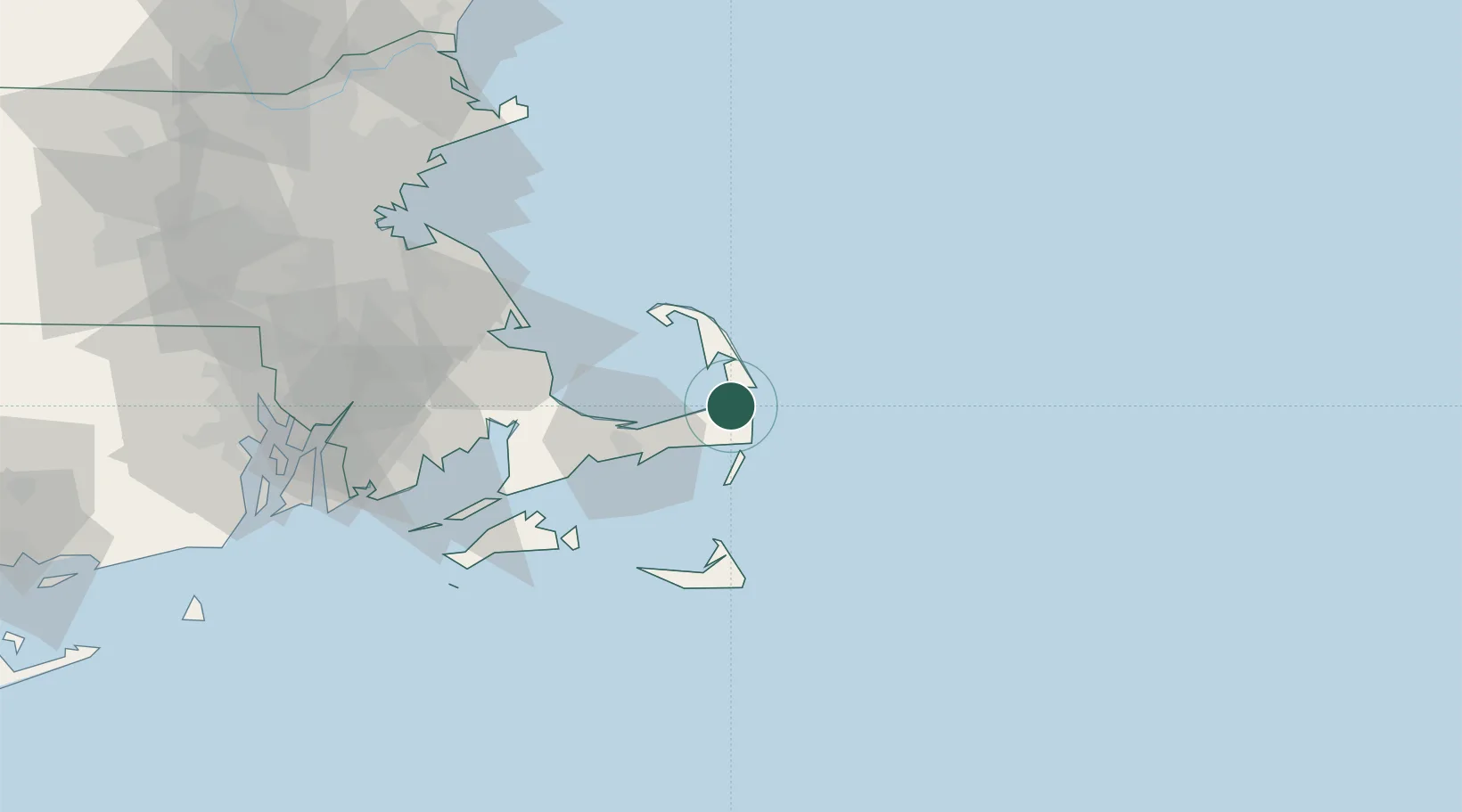
Massachusetts
Population
1,621
Time zone
America/New_York
Elevation
18 m
Location
Nearby Logistics Neighbours
Cities
- 1Brewster7 km
- 2North Eastham9 km
- 3Chatham14 km
- 4Wellfleet17 km
- 5South Yarmouth20 km
Ports
- 1Hyannis28 km
- 2Provincetown33 km
- 3Nantucket56 km
- 4Falmouth57 km
- 5Plymouth58 km
Airports
Trade Zones
- 1FTZ No. 028 New Bedford84 km
- 2FTZ No. 027 Boston109 km
- 3FTZ No. 105 Providence and North Kingstown121 km
- 4FTZ No. 081 Portsmouth158 km
- 5FTZ No. 208 New London181 km
DatabookThe Record of Consolidated Knowledge
United States beyond logistics?