UN/LOCODE hub · United States
USEN9
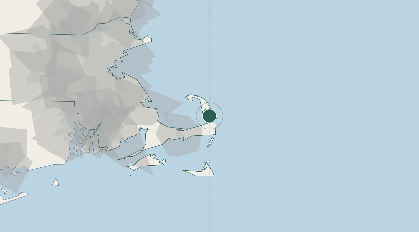
North Eastham
41.8667°, -70.0000°
1,806
Population
2
Transport functions
Transport Functions
Road
Multimodal
Hub Profile
Place type
Populated place
Region
Massachusetts
Population
1,806
Time zone
America/New_York
Elevation
12 m
Location
Nearby Logistics Neighbours
Cities
- 1Wellfleet8 km
- 2Orleans9 km
- 3Brewster13 km
- 4North Truro20 km
- 5Chatham23 km
Ports
- 1Provincetown25 km
- 2Hyannis34 km
- 3Plymouth56 km
- 4Falmouth62 km
- 5Nantucket65 km
Airports
Trade Zones
- 1FTZ No. 028 New Bedford86 km
- 2FTZ No. 027 Boston104 km
- 3FTZ No. 105 Providence and North Kingstown121 km
- 4FTZ No. 081 Portsmouth149 km
- 5FTZ No. 208 New London183 km
DatabookThe Record of Consolidated Knowledge
United States beyond logistics?