Channel & Berth Profile
Pilotage, Tugs & Services
Pilotage availableYES
Potable waterYES
Facilities & Capabilities
Container—
Ro-Ro—
Liquid bulk—
Dry bulk—
Oil terminal—
Break bulk—
Dry dock—
Repairs—
Bunkering—
Rail link—
Dangerous cargo—
ISPS security—
Harbour Specifications
Harbour size
Very Small
Harbour type
Coastal (Natural)
Shelter
Fair
Water body
Bristol Bay; Bering Sea; North Pacific Ocean
Tidal range
3.4 m
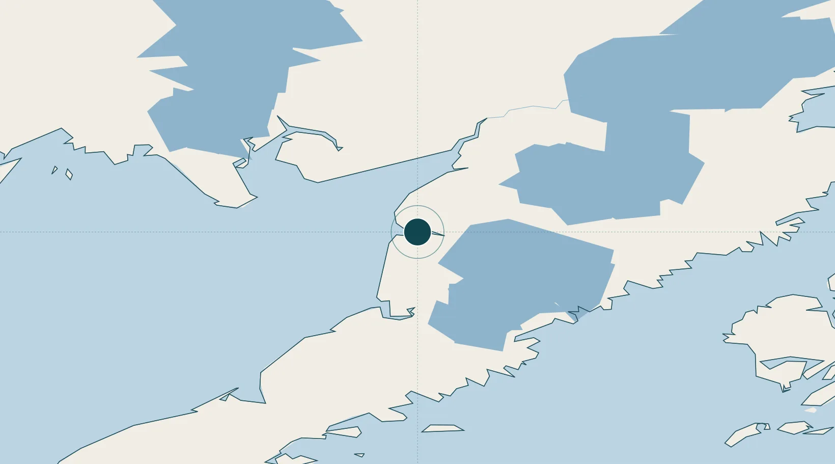
Location
Nearby Logistics Neighbours
Ports
- 1Naknek61 km
- 2Pilot Point72 km
- 3Ugashik74 km
- 4Ekuk98 km
- 5Clarks Point100 km
Cities
- 1Kaguyak260 km
- 2Afognak271 km
- 3Jakolof Bay364 km
- 4Lenard Harbour461 km
- 5Susitna533 km
Airports
- 1Egegik Airport2 km
- 2South Naknek Number 2 Airport60 km
- 3King Salmon Airport68 km
- 4Pilot Point Airport70 km
- 5Clarks Point Airport98 km
Trade Zones
- 1FTZ No. 232 Kodiak233 km
- 2FTZ No. 160 Anchorage538 km
- 3FTZ No. 108 Valdez698 km
- 4FTZ No. 195 Fairbanks897 km
- 5PrInce George Logistics Park2176 km
DatabookThe Record of Consolidated Knowledge
United States beyond logistics?