Small airport · United States
Goodnews AirportGNU
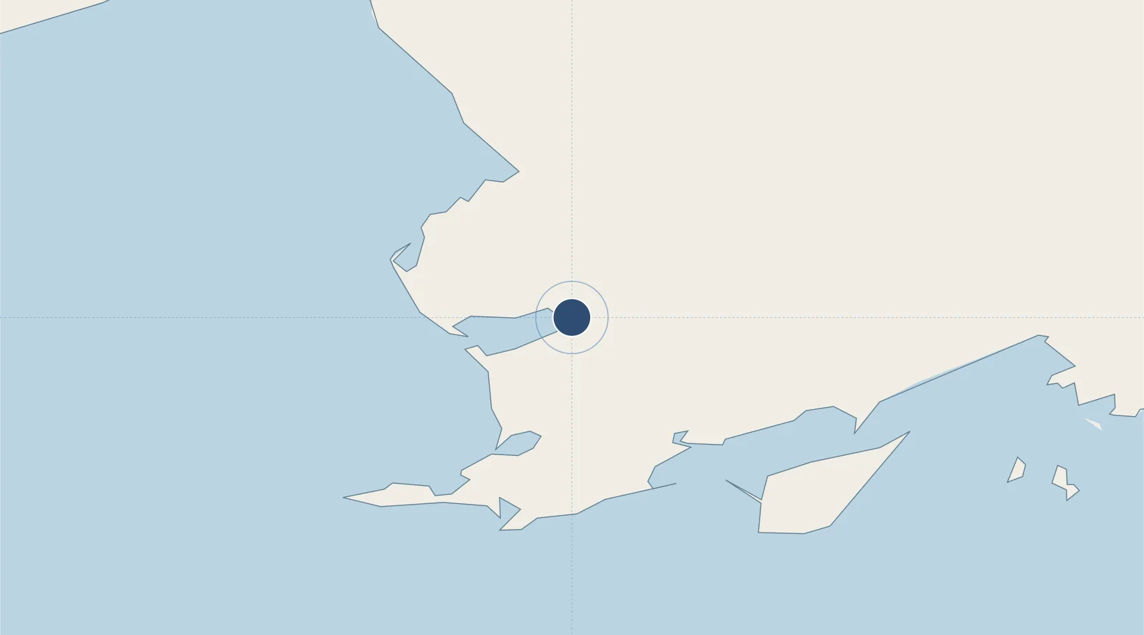
59.1176°, -161.5752°
2,835 ft
Longest runway
1
Runways
15 ft
Elevation
Runway & Layout

Runways · 1
| Runway | Dimensions | Surface | True heading | Lit |
|---|---|---|---|---|
| 05/23 | 2,835 × 80ft | GRVL-F | 069° | — |
Airport Specifications
IATA code
GNU
ICAO code
GNU
Airport class
Small airport
Scheduled service
Yes
Runway surface
GRVL-F
Served city
Goodnews
Location
Nearby Logistics Neighbours
Airports
- 1Platinum Airport18 km
- 2Cape Newenham LRRS Airport59 km
- 3Togiak Airport68 km
- 4Quinhagak Airport73 km
- 5Twin Hills Airport74 km
Cities
- 1Lenard Harbour448 km
- 2Kaguyak523 km
- 3Afognak525 km
- 4Jakolof Bay572 km
- 5Sledge Island644 km
Ports
- 1Platinum19 km
- 2Ekuk176 km
- 3Clarks Point176 km
- 4Dillingham177 km
- 5Bethel189 km
Trade Zones
- 1FTZ No. 232 Kodiak497 km
- 2FTZ No. 160 Anchorage687 km
- 3FTZ No. 108 Valdez870 km
- 4FTZ No. 195 Fairbanks961 km
- 5PrInce George Logistics Park2414 km
DatabookThe Record of Consolidated Knowledge
United States beyond logistics?