Medium airport · United States
Cape Newenham LRRS AirportPAEH
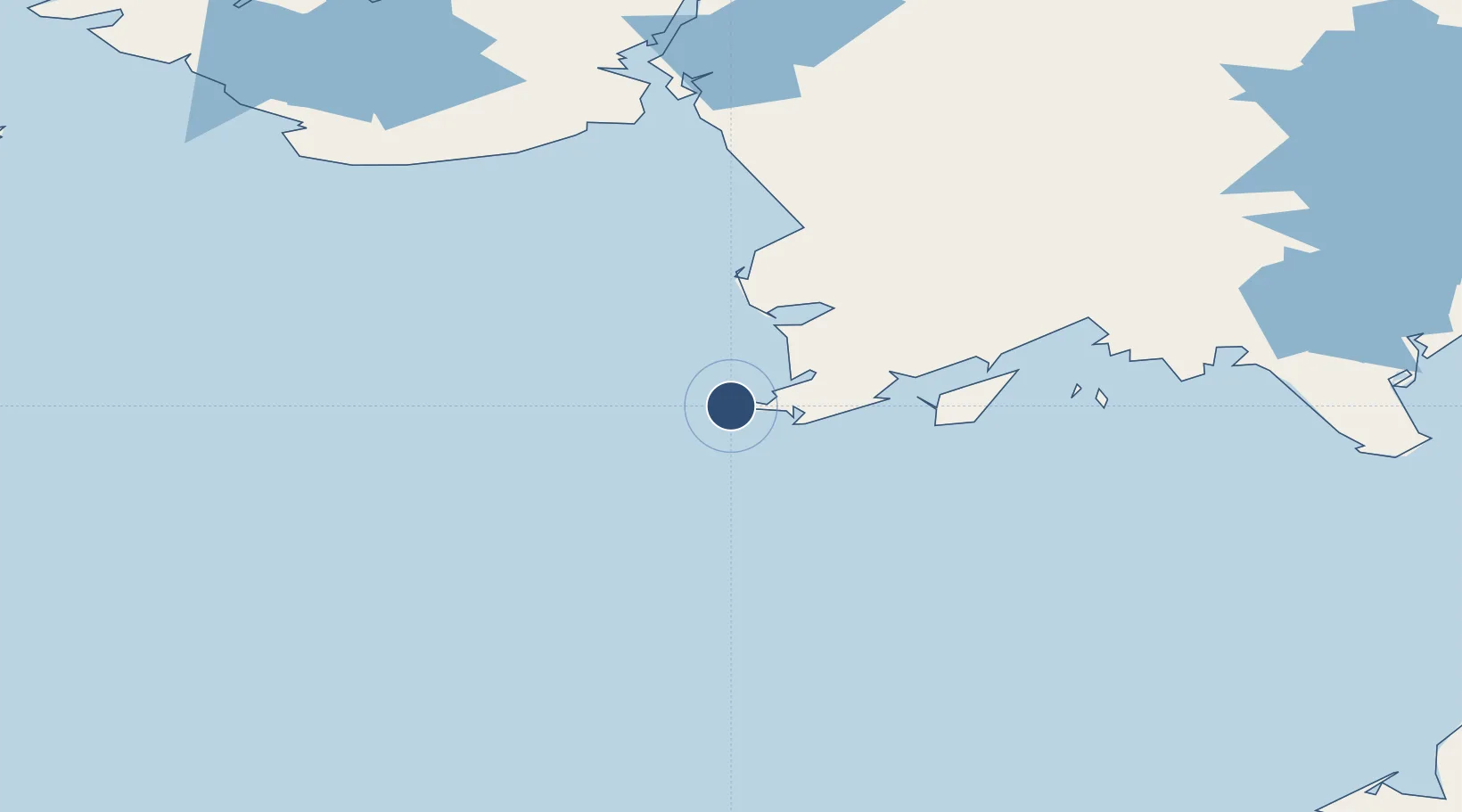
58.6464°, -162.0630°
3,945 ft
Longest runway
1
Runways
541 ft
Elevation
Runway & Layout

Radio Frequencies
CNTR
124.2 MHz
ANCHORAGE CNTR
FSS
122.3 MHz
KENAI RDO
UNIC
126.2 MHz
CTAF/UNICOM
Navaids
EHM NDB-DME Cape Newenham 0.39 MHz
Runways · 1
| Runway | Dimensions | Surface | True heading | Lit |
|---|---|---|---|---|
| 15/33 | 3,945 × 150ft | Gravel | 162° | ✓ |
Airport Specifications
IATA code
EHM
ICAO code
PAEH
Airport class
Medium airport
Scheduled service
No
Runway surface
Gravel
Served city
Cape Newenham
Location
Nearby Logistics Neighbours
Airports
- 1Platinum Airport43 km
- 2Goodnews Airport59 km
- 3Togiak Airport106 km
- 4Twin Hills Airport113 km
- 5Quinhagak Airport124 km
Cities
- 1Lenard Harbour393 km
- 2Kaguyak529 km
- 3Afognak547 km
- 4Dutch Harbor596 km
- 5Jakolof Bay609 km
Ports
- 1Platinum43 km
- 2Ekuk203 km
- 3Clarks Point204 km
- 4Dillingham210 km
- 5Bethel242 km
Trade Zones
- 1FTZ No. 232 Kodiak510 km
- 2FTZ No. 160 Anchorage735 km
- 3FTZ No. 108 Valdez916 km
- 4FTZ No. 195 Fairbanks1018 km
- 5PrInce George Logistics Park2445 km
DatabookThe Record of Consolidated Knowledge
United States beyond logistics?