Medium airport · United States
Platinum AirportPAPM
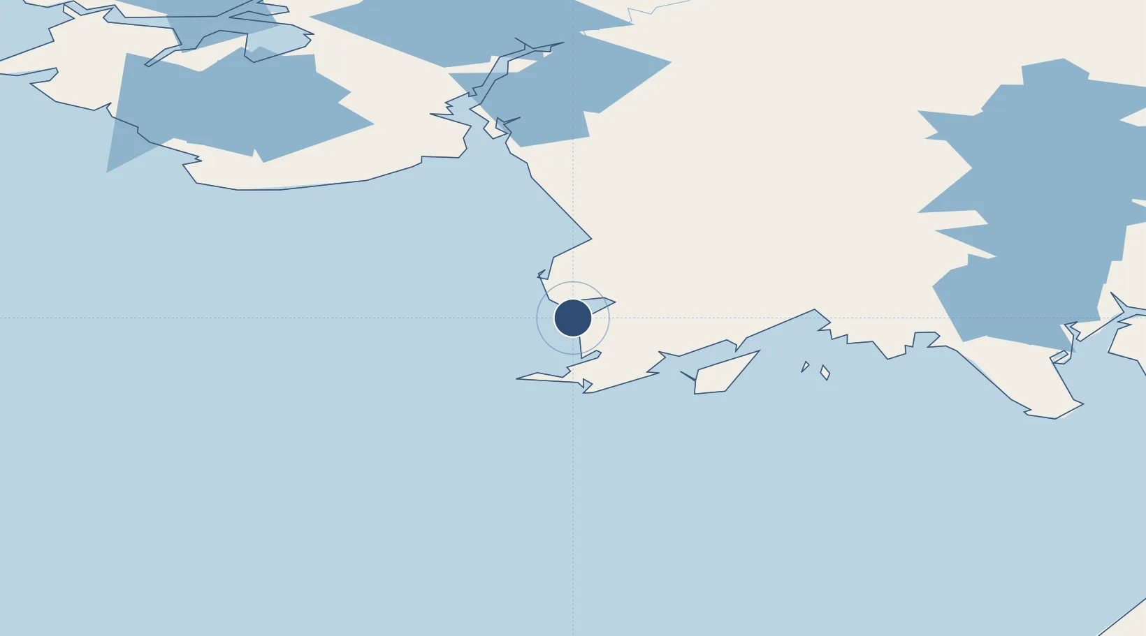
59.0177°, -161.8279°
5,000 ft
Longest runway
1
Runways
15 ft
Elevation
Runway & Layout

Radio Frequencies
AWOS
118.375 MHz
AWOS THREE
CTAF
122.8 MHz
A/D
127.6 MHz
ANCHORAGE ARTCC
RDO
122.5 MHz
KENAI RDO
Runways · 1
| Runway | Dimensions | Surface | True heading | Lit |
|---|---|---|---|---|
| 14/32 | 5,000 × 75ft | Gravel | 154° | ✓ |
Airport Specifications
IATA code
PTU
ICAO code
PAPM
Airport class
Medium airport
Scheduled service
Yes
Runway surface
Gravel
Served city
Platinum
Location
Nearby Logistics Neighbours
Airports
- 1Goodnews Airport18 km
- 2Cape Newenham LRRS Airport43 km
- 3Togiak Airport82 km
- 4Quinhagak Airport82 km
- 5Twin Hills Airport89 km
Cities
- 1Lenard Harbour435 km
- 2Kaguyak531 km
- 3Afognak538 km
- 4Jakolof Bay588 km
- 5Dutch Harbor639 km
Ports
- 1Platinum0 km
- 2Ekuk189 km
- 3Clarks Point189 km
- 4Dillingham191 km
- 5Bethel200 km
Trade Zones
- 1FTZ No. 232 Kodiak507 km
- 2FTZ No. 160 Anchorage705 km
- 3FTZ No. 108 Valdez887 km
- 4FTZ No. 195 Fairbanks979 km
- 5PrInce George Logistics Park2429 km
DatabookThe Record of Consolidated Knowledge
United States beyond logistics?