Small airport · United States
Tatitlek Airport7KA
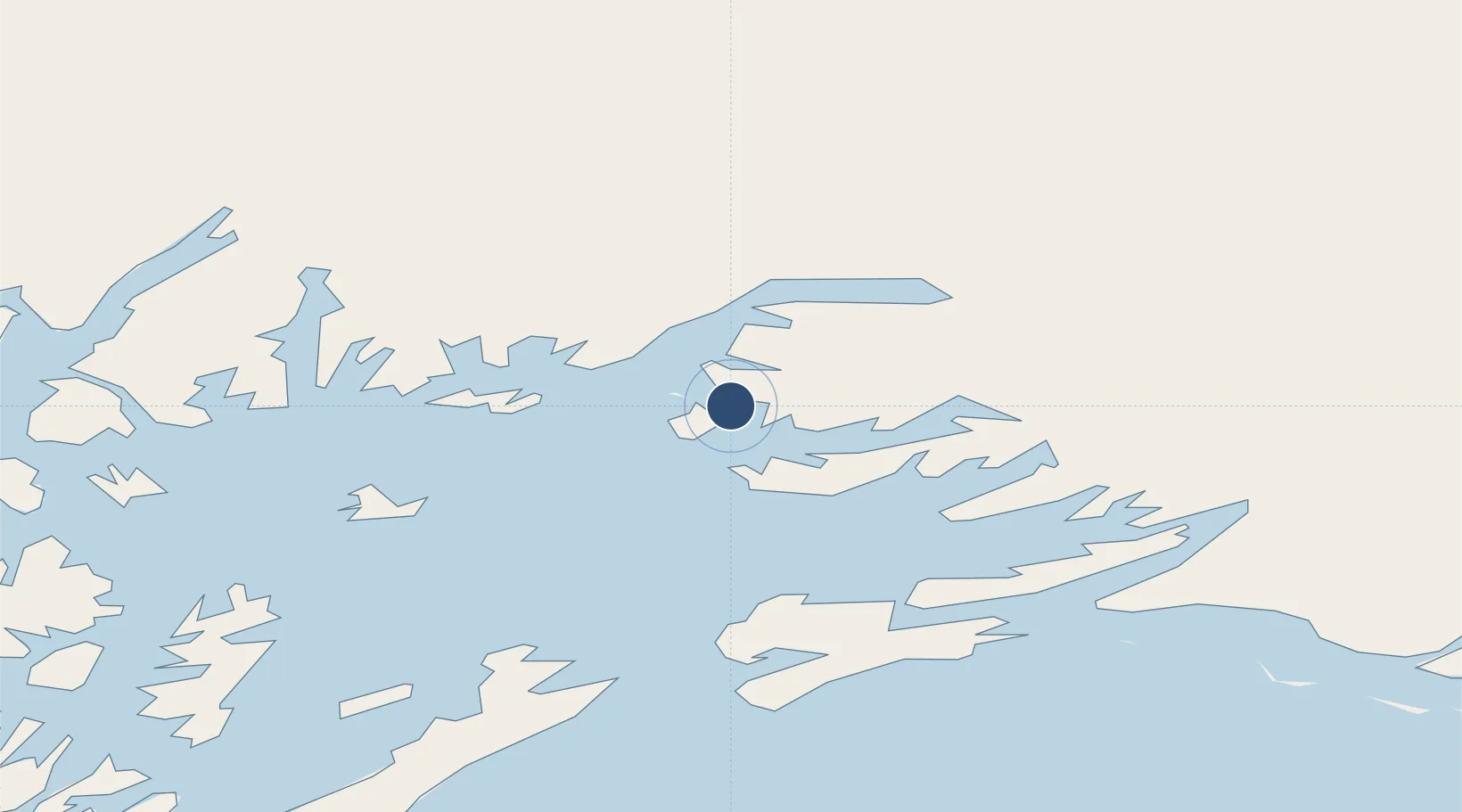
60.8714°, -146.6903°
8,000 ft
Longest runway
2
Runways
62 ft
Elevation
Runway & Layout

Runways · 2
| Runway | Dimensions | Surface | True heading | Lit |
|---|---|---|---|---|
| 13W/31W | 8,000 × 4000ft | Water | — | — |
| 13/31 | 3,701 × 75ft | GRVL-E | — | ✓ |
Airport Specifications
IATA code
TEK
ICAO code
PAKA
Airport class
Small airport
Scheduled service
Yes
Runway surface
Water
Served city
Tatitlek
Location
Nearby Logistics Neighbours
Airports
- 1Valdez Pioneer Field38 km
- 2Merle K (Mudhole) Smith Airport78 km
- 3Chenega Bay Airport114 km
- 4Warren "Bud" Woods Palmer Municipal Airport152 km
- 5Gulkana Airport157 km
Cities
- 1Valdez35 km
- 2Cordova62 km
- 3Orca64 km
- 4Elmendorf Air Force Base173 km
- 5Anchorage177 km
Ports
- 1Valdez36 km
- 2Cordova62 km
- 3Orca62 km
- 4Whittier109 km
- 5San Juan Cannery119 km
Trade Zones
- 1FTZ No. 108 Valdez34 km
- 2FTZ No. 160 Anchorage177 km
- 3FTZ No. 195 Fairbanks445 km
- 4FTZ No. 232 Kodiak548 km
- 5PrInce George Logistics Park1617 km
DatabookThe Record of Consolidated Knowledge
United States beyond logistics?