Medium airport · United States
Merle K (Mudhole) Smith AirportPACV
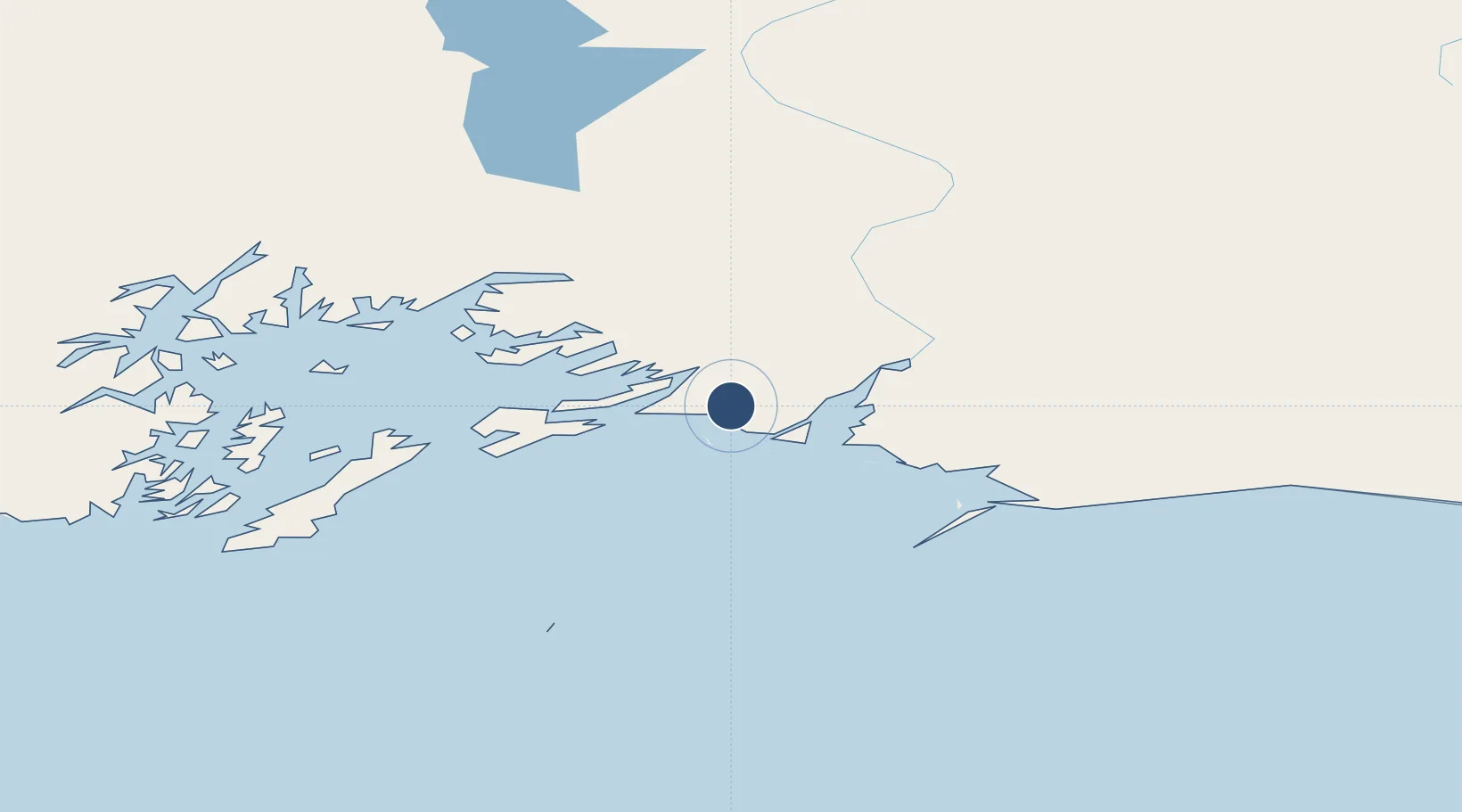
60.4918°, -145.4780°
7,500 ft
Longest runway
2
Runways
54 ft
Elevation
Runway & Layout

Radio Frequencies
ASOS
134.8 MHz
CTAF
123.6 MHz
A/D
133.6 MHz
ANCHORAGE APP/DEP
FSS
122.2 MHz
JUNEAU RDO
Navaids
GCR NDB Glacier River 404 kHz
Runways · 2
| Runway | Dimensions | Surface | True heading | Lit |
|---|---|---|---|---|
| 09/27 | 7,500 × 150ft | Asphalt | 114° | ✓ |
| 16/34 | 1,934 × 30ft | Gravel | 181° | — |
Airport Specifications
IATA code
CDV
ICAO code
PACV
Airport class
Medium airport
Scheduled service
Yes
Runway surface
Asphalt
Served city
Cordova
Location
Nearby Logistics Neighbours
Airports
- 1Tatitlek Airport78 km
- 2Valdez Pioneer Field83 km
- 3Chenega Bay Airport146 km
- 4Yakataga Airport171 km
- 5May Creek Airport178 km
Cities
- 1Orca15 km
- 2Cordova17 km
- 3Valdez84 km
- 4Elmendorf Air Force Base249 km
- 5Anchorage252 km
Ports
- 1Orca17 km
- 2Cordova17 km
- 3Valdez81 km
- 4San Juan Cannery151 km
- 5Whittier178 km
Trade Zones
- 1FTZ No. 108 Valdez86 km
- 2FTZ No. 160 Anchorage253 km
- 3FTZ No. 195 Fairbanks497 km
- 4FTZ No. 232 Kodiak577 km
- 5PrInce George Logistics Park1541 km
DatabookThe Record of Consolidated Knowledge
United States beyond logistics?