Medium airport · United States
Valdez Pioneer FieldPAVD
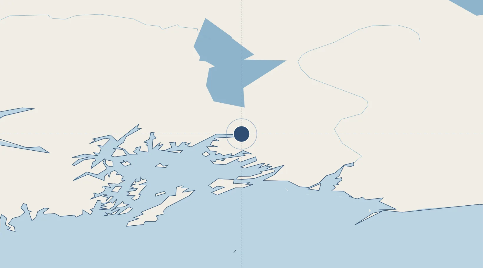
61.1327°, -146.2466°
6,500 ft
Longest runway
1
Runways
121 ft
Elevation
Runway & Layout

Radio Frequencies
AWOS
118.8 MHz
AWOS 3
CTAF
122.9 MHz
CNTR
119.3 MHz
ANCHORAGE CNTR
FSS
122.2 MHz
JUNEAU RDO
Navaids
MNL NDB Mineral Creek 524 kHz
Runways · 1
| Runway | Dimensions | Surface | True heading | Lit |
|---|---|---|---|---|
| 06/24 | 6,500 × 150ft | Asphalt | 081° | ✓ |
Airport Specifications
IATA code
VDZ
ICAO code
PAVD
Airport class
Medium airport
Scheduled service
Yes
Runway surface
Asphalt
Served city
Valdez
Location
Nearby Logistics Neighbours
Airports
- 1Tatitlek Airport38 km
- 2Merle K (Mudhole) Smith Airport83 km
- 3Gulkana Airport121 km
- 4Chenega Bay Airport151 km
- 5Warren "Bud" Woods Palmer Municipal Airport160 km
Cities
- 1Valdez3 km
- 2Cordova69 km
- 3Orca70 km
- 4Elmendorf Air Force Base191 km
- 5Anchorage195 km
Ports
- 1Valdez2 km
- 2Orca68 km
- 3Cordova70 km
- 4Whittier138 km
- 5San Juan Cannery156 km
Trade Zones
- 1FTZ No. 108 Valdez6 km
- 2FTZ No. 160 Anchorage196 km
- 3FTZ No. 195 Fairbanks419 km
- 4FTZ No. 232 Kodiak585 km
- 5PrInce George Logistics Park1603 km
DatabookThe Record of Consolidated Knowledge
United States beyond logistics?