Medium airport · United States
Gulkana AirportPAGK
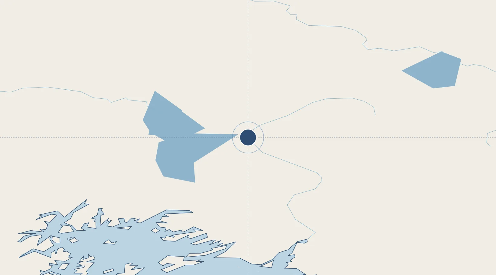
62.1559°, -145.4547°
5,001 ft
Longest runway
1
Runways
1,586 ft
Elevation
Runway & Layout

Radio Frequencies
ASOS
134.85 MHz
CTAF
122.9 MHz
CNTR
119.5 MHz
ANCHORAGE CNTR
FSS
122.2 MHz
KENAI RDO
MISC
115.6 MHz
TWEB
Navaids
GKN VOR-DME Gulkana 115.60 MHz
GLA NDB Glennallen 248 kHz
Runways · 1
| Runway | Dimensions | Surface | True heading | Lit |
|---|---|---|---|---|
| 15/33 | 5,001 × 100ft | ASPH-G | 171° | — |
Airport Specifications
IATA code
GKN
ICAO code
PAGK
Airport class
Medium airport
Scheduled service
Yes
Runway surface
ASPH-G
Served city
Gulkana
Location
Nearby Logistics Neighbours
Airports
- 1Valdez Pioneer Field121 km
- 2Tatitlek Airport157 km
- 3May Creek Airport172 km
- 4Tok Junction Airport182 km
- 5Merle K (Mudhole) Smith Airport185 km
Cities
- 1Valdez123 km
- 2Orca177 km
- 3Cordova178 km
- 4Houston236 km
- 5Elmendorf Air Force Base250 km
Trade Zones
- 1FTZ No. 108 Valdez123 km
- 2FTZ No. 160 Anchorage255 km
- 3FTZ No. 195 Fairbanks319 km
- 4FTZ No. 232 Kodiak693 km
- 5PrInce George Logistics Park1607 km
DatabookThe Record of Consolidated Knowledge
United States beyond logistics?