Channel & Berth Profile
Pilotage, Tugs & Services
Pilotage compulsoryYES
Potable waterYES
Diesel bunkersYES
MedicalYES
Facilities & Capabilities
Container—
Ro-Ro—
Liquid bulk—
Dry bulk—
Oil terminal—
Break bulk—
Dry dock—
RepairsNO
BunkeringYES
Rail linkYES
Dangerous cargo—
ISPS security—
Harbour Specifications
Harbour size
Very Small
Harbour type
Coastal (Natural)
Shelter
Good
Water body
North Atlantic Ocean
Tidal range
1.2 m
Overhead limit
Yes
Pilotage
Yes
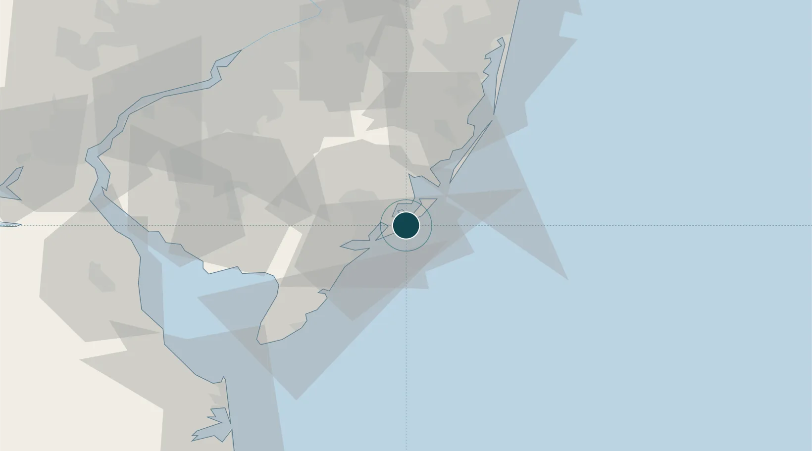
Location
Nearby Logistics Neighbours
Ports
- 1Barnegat52 km
- 2Gloucester85 km
- 3Burlington89 km
- 4Philadelphia89 km
- 5Camden89 km
Cities
- 1Absecon8 km
- 2Northfield12 km
- 3Ocean City17 km
- 4New Gretna24 km
- 5Ship Bottom37 km
Airports
Trade Zones
- 1FTZ No. 142 Salem Millville61 km
- 2FTZ No. 235 Lakewood80 km
- 3FTZ No. 035 Philadelphia101 km
- 4FTZ No. 099 Wilmington106 km
- 5FTZ No. 200 Mercer County108 km
DatabookThe Record of Consolidated Knowledge
United States beyond logistics?