UN/LOCODE hub · United States
USTYW
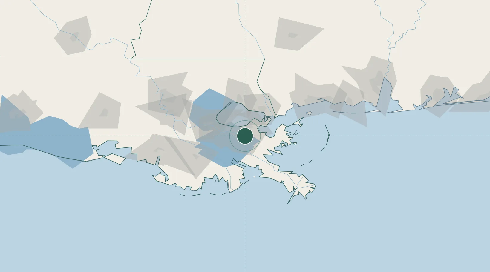
Terrytown
29.9000°, -90.0167°
23,319
Population
2
Transport functions
Transport Functions
Rail
Road
Hub Profile
Place type
Populated place
Region
Louisiana
Population
23,319
Time zone
America/Chicago
Elevation
-1 m
Location
Nearby Logistics Neighbours
Cities
- 1Chalmette4 km
- 2Marrero8 km
- 3Meraux8 km
- 4New Orleans9 km
- 5Destrehan11 km
Ports
- 1Gretna5 km
- 2New Orleans6 km
- 3St Rose29 km
- 4Destrehan34 km
- 5Slidell47 km
Airports
Trade Zones
- 1FTZ No. 002 New Orleans6 km
- 2FTZ No. 124 Gramercy70 km
- 3FTZ No. 092 Harrison County116 km
- 4FTZ No. 279 Terrebonne Parish123 km
- 5FTZ No. 154 Baton Rouge133 km
DatabookThe Record of Consolidated Knowledge
United States beyond logistics?