UN/LOCODE hub · United States
USMSY
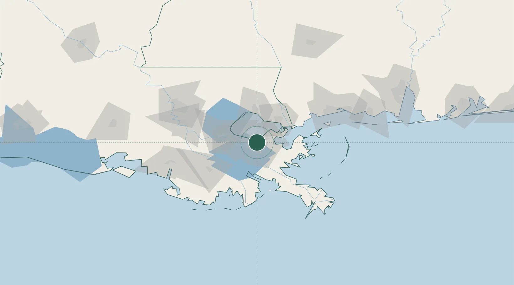
New Orleans
29.9715°, -90.0665°
362,701
Population
5
Transport functions
2
Container terminals
Transport Functions
Port
Rail
Road
Airport
Postal
Hub Profile
Place type
Provincial seat
Region
Louisiana
Population
362,701
Time zone
America/Chicago
Elevation
0 m
Logistics facilities
63
Container terminals
2
Location
Nearby Logistics Neighbours
Cities
- 1Destrehan6 km
- 2Marrero9 km
- 3Terrytown9 km
- 4Chalmette11 km
- 5Bridge City11 km
Airports
Trade Zones
- 1FTZ No. 002 New Orleans4 km
- 2FTZ No. 124 Gramercy63 km
- 3FTZ No. 092 Harrison County116 km
- 4FTZ No. 279 Terrebonne Parish123 km
- 5FTZ No. 154 Baton Rouge125 km
DatabookThe Record of Consolidated Knowledge
United States beyond logistics?