About
Methodology
Sources
Licensing
English
EN
English
TR
Türkçe
DE
Deutsch
FR
Français
ES
Español
IT
Italiano
PT
Português
NL
Nederlands
PL
Polski
RU
Русский
UK
Українська
CS
Čeština
RO
Română
EL
Ελληνικά
BG
Български
AR
العربية
FA
فارسی
UR
اردو
HI
हिन्दी
BN
বাংলা
ID
Bahasa Indonesia
VI
Tiếng Việt
ZH
中文
JA
日本語
KO
한국어
logibook
/
Countries
/
United States
/
Locations
/
Accord
UN/LOCODE hub ·
United States
US
A8C
Accord
42.1667°, -70.8833°
2
Transport functions
Transport Functions
Port
Road
UN/LOCODE
Hub Profile
Place type
Populated place
GeoNames
Region
Massachusetts
GeoNames
Time zone
America/New_York
GeoNames
Elevation
50 m
GeoNames
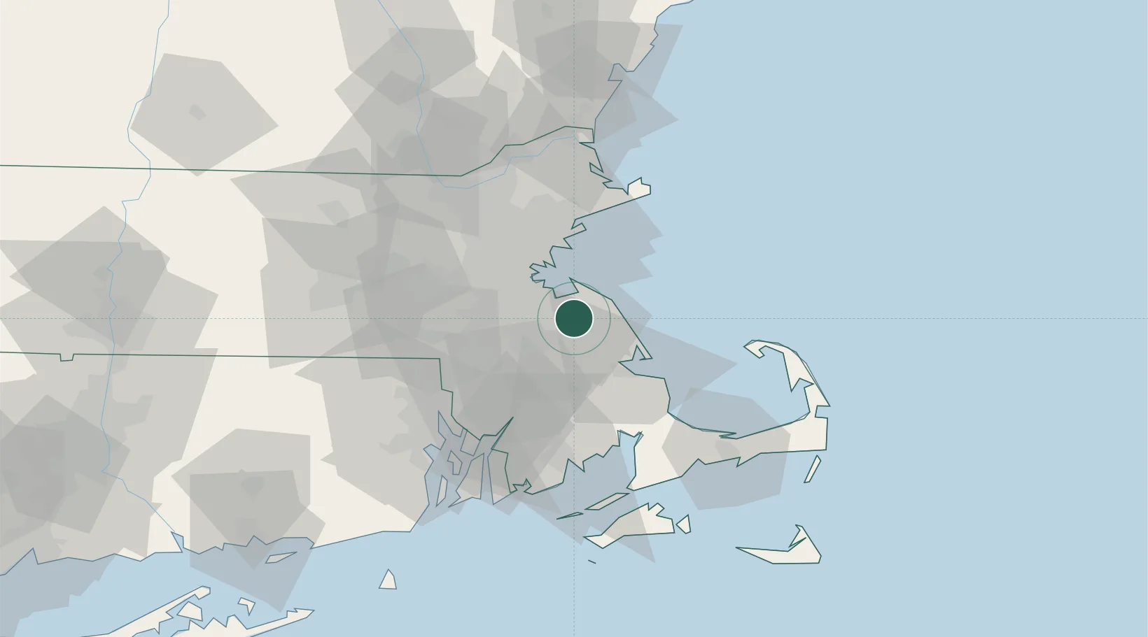
Location
Natural Earth 10m (public domain) · Massachusetts · USA8C · 42.17, -70.88
Google ↗
OSM ↗
Yandex ↗
Nearby Logistics Neighbours
Cities
1
Abington
7 km
2
Norwell
8 km
3
Cohasset
10 km
4
Whitman
10 km
5
Dorchester
20 km
Nearest neighbours — logibook spatial index (haversine) over the source coordinates
Ports
1
Quincy
12 km
2
Scituate
14 km
3
Boston
25 km
4
Plymouth
30 km
5
Lynn
32 km
Nearest neighbours — logibook spatial index (haversine) over the source coordinates
Airports
1
Norwood Memorial Airport
24 km
2
Boston Logan International Airport
24 km
3
Beverly Regional Airport
47 km
4
Laurence G Hanscom Field
47 km
5
New Bedford Regional Airport
55 km
Nearest neighbours — logibook spatial index (haversine) over the source coordinates
Trade Zones
1
FTZ No. 027 Boston
25 km
2
FTZ No. 028 New Bedford
57 km
3
FTZ No. 105 Providence and North Kingstown
61 km
4
FTZ No. 081 Portsmouth
99 km
5
FTZ No. 208 New London
135 km
Nearest neighbours — logibook spatial index (haversine) over the source coordinates
Data
book
The Record of Consolidated Knowledge
United States beyond logistics?
Browse databook
→
All Sources
Locations
UN/LOCODE
UN/LOCODE — free
↗
Ports
the NGA World Port Index
Public domain (US gov)
↗
Airports
OurAirports
Public domain
↗
Trade Zones
the World Bank SEZ database
CC BY 4.0
↗
Trade Zones
Open Zone Map
CC BY
↗
← United States locations