UN/LOCODE hub · United States
USUUM
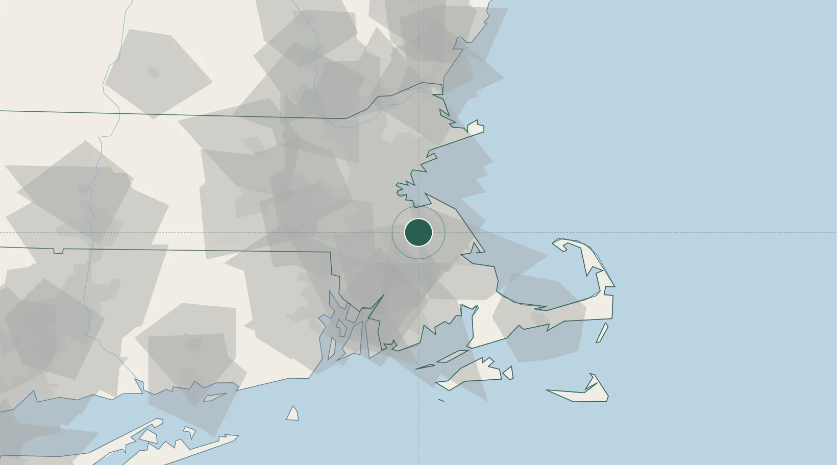
Abington
42.1167°, -70.9333°
15,985
Population
2
Transport functions
Transport Functions
Rail
Road
Hub Profile
Place type
Populated place
Region
Massachusetts
Population
15,985
Time zone
America/New_York
Elevation
32 m
Location
Nearby Logistics Neighbours
Cities
- 1Whitman4 km
- 2Accord7 km
- 3Norwell13 km
- 4Cohasset17 km
- 5Dorchester22 km
Airports
Trade Zones
- 1FTZ No. 027 Boston26 km
- 2FTZ No. 028 New Bedford51 km
- 3FTZ No. 105 Providence and North Kingstown55 km
- 4FTZ No. 081 Portsmouth105 km
- 5FTZ No. 208 New London128 km
DatabookThe Record of Consolidated Knowledge
United States beyond logistics?