UN/LOCODE hub · United States
USCJ2
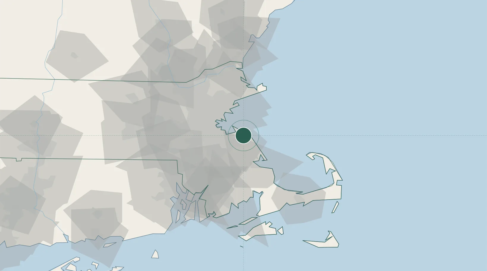
Cohasset
42.2333°, -70.8000°
7,388
Population
2
Transport functions
Transport Functions
Rail
Road
Hub Profile
Place type
Populated place
Region
Massachusetts
Population
7,388
Time zone
America/New_York
Elevation
6 m
Location
Nearby Logistics Neighbours
Cities
- 1Norwell9 km
- 2Accord10 km
- 3Abington17 km
- 4Whitman20 km
- 5Dorchester23 km
Ports
- 1Scituate8 km
- 2Quincy14 km
- 3Boston24 km
- 4Lynn27 km
- 5Marblehead30 km
Airports
Trade Zones
DatabookThe Record of Consolidated Knowledge
United States beyond logistics?