Seaport · United States

WyandotteUSWYD

42.2000°, -83.1500°
6.4 m
Channel depth

Channel & Berth Profile

SEA LEVEL (CD)CHANNEL BEDChannel · 6.4 mAnchorage · 6.4 mCargo pier · 6.4 m
NGA World Port Index

Pilotage, Tugs & Services

Pilotage compulsoryYES
Tug assistanceYES
Salvage tugsNO
Potable waterYES
NGA World Port Index

Facilities & Capabilities

Container
Ro-Ro
Liquid bulk
Dry bulk
Oil terminal
Break bulk
Dry dock
Repairs
Bunkering
Rail linkYES
Dangerous cargo
ISPS security
NGA World Port Index

Harbour Specifications

Harbour size
Small
NGA World Port Index
Harbour type
River (Natural)
NGA World Port Index
Shelter
Excellent
NGA World Port Index
Water body
Lake Erie; Great Lakes
NGA World Port Index
Overhead limit
Yes
NGA World Port Index
Pilotage
Yes
NGA World Port Index

Location

Location of USWYD
Natural Earth 10m (public domain) · Michigan · USWYD · 42.20, -83.15GoogleOSMYandex

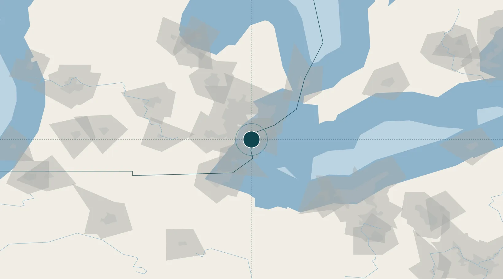
Nearby Logistics Neighbours

Ports
  1. 1Trenton8 km
  2. 2Amherstburg12 km
  3. 3Windsor16 km
  4. 4Detroit18 km
  5. 5Monroe38 km
Nearest neighbours — logibook spatial index (haversine) over the source coordinates
Cities
  1. 1Melvindale8 km
  2. 2Woodhaven10 km
  3. 3Brownstown Township11 km
  4. 4Gibraltar13 km
  5. 5Detroit14 km
Nearest neighbours — logibook spatial index (haversine) over the source coordinates
Airports
  1. 1Detroit Metropolitan Wayne County Airport17 km
  2. 2Windsor International Airport18 km
  3. 3Coleman A. Young Municipal Airport26 km
  4. 4Willow Run Airport32 km
  5. 5Selfridge Air National Guard Base Airport53 km
Nearest neighbours — logibook spatial index (haversine) over the source coordinates
Trade Zones
  1. 1Windsor - Essex Foreign Trade Zone17 km
  2. 2FTZ No. 070 Detroit19 km
  3. 3FTZ No. 008 Toledo68 km
  4. 4FTZ No. 210 St. Clair County87 km
  5. 5FTZ No. 140 Flint104 km
Nearest neighbours — logibook spatial index (haversine) over the source coordinates
DatabookThe Record of Consolidated Knowledge
United States beyond logistics?
Browse databook

All Sources

Portsthe NGA World Port Index
Public domain (US gov)
AirportsOurAirports
Public domain
LocationsUN/LOCODE
UN/LOCODE — free
Trade Zonesthe World Bank SEZ database
CC BY 4.0
Trade ZonesOpen Zone Map
CC BY
← United States ports