Medium airport · United States

Willow Run AirportKYIP
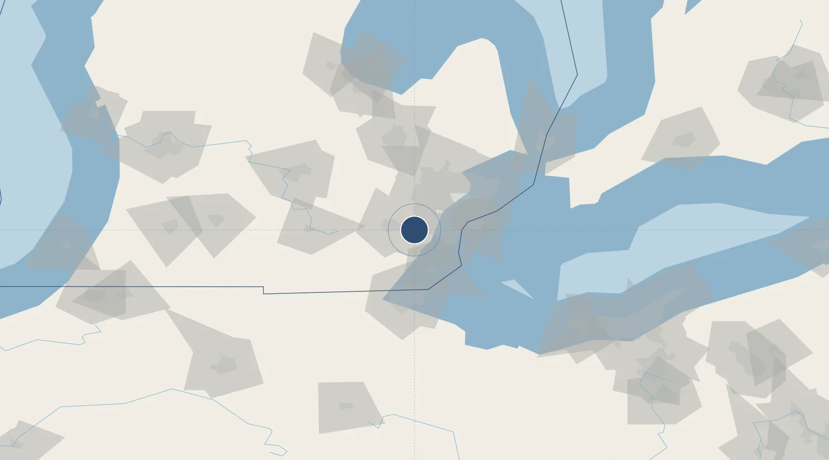
42.2379°, -83.5304°
7,543 ft
Longest runway
2
Runways
716 ft
Elevation

Runway & Layout

Willow Run Airport runway & taxiway layout
Runway & taxiway layout — OpenStreetMap (ODbL) / OurAirports

Radio Frequencies

ATIS
127.425 MHz
ASOS
132.35 MHz
TWR
125.275 MHz
GND
121.75 MHz
A/D
118.95 MHz
DETROIT APP/DEP
OurAirports

Navaids

YI NDB Yipps 359 kHz
OurAirports

Runways · 2

RunwayDimensions SurfaceTrue headingLit
05/23 7,543 × 150ft Concrete 047°
09/27 5,001 × 100ft Asphalt 089°
OurAirports

Airport Specifications

IATA code
YIP
OurAirports
ICAO code
KYIP
OurAirports
Airport class
Medium airport
OurAirports
Scheduled service
No
OurAirports
Runway surface
Concrete
OurAirports
Served city
Detroit
OurAirports

Location

Location of KYIP
Natural Earth 10m (public domain) · Michigan · KYIP · 42.24, -83.53GoogleOSMYandex

Nearby Logistics Neighbours

Airports
  1. 1Detroit Metropolitan Wayne County Airport15 km
  2. 2Coleman A. Young Municipal Airport47 km
  3. 3Windsor International Airport48 km
  4. 4Oakland County International Airport48 km
  5. 5Selfridge Air National Guard Base Airport71 km
Nearest neighbours — logibook spatial index (haversine) over the source coordinates
Cities
  1. 1Willow Run3 km
  2. 2Van Buren Township7 km
  3. 3Willis10 km
  4. 4New Boston13 km
  5. 5Dearborn Heights21 km
Nearest neighbours — logibook spatial index (haversine) over the source coordinates
Ports
  1. 1Wyandotte32 km
  2. 2Trenton32 km
  3. 3Amherstburg39 km
  4. 4Windsor42 km
  5. 5Detroit42 km
Nearest neighbours — logibook spatial index (haversine) over the source coordinates
Trade Zones
  1. 1FTZ No. 070 Detroit27 km
  2. 2Windsor - Essex Foreign Trade Zone42 km
  3. 3FTZ No. 008 Toledo65 km
  4. 4FTZ No. 140 Flint88 km
  5. 5FTZ No. 284 Genesee County92 km
Nearest neighbours — logibook spatial index (haversine) over the source coordinates
DatabookThe Record of Consolidated Knowledge
United States beyond logistics?
Browse databook

All Sources

AirportsOurAirports
Public domain
Portsthe NGA World Port Index
Public domain (US gov)
LocationsUN/LOCODE
UN/LOCODE — free
Trade Zonesthe World Bank SEZ database
CC BY 4.0
Trade ZonesOpen Zone Map
CC BY
InfrastructureOpenStreetMap
ODbL 1.0
← United States airports