Transport Functions
Rail
Road
Multimodal
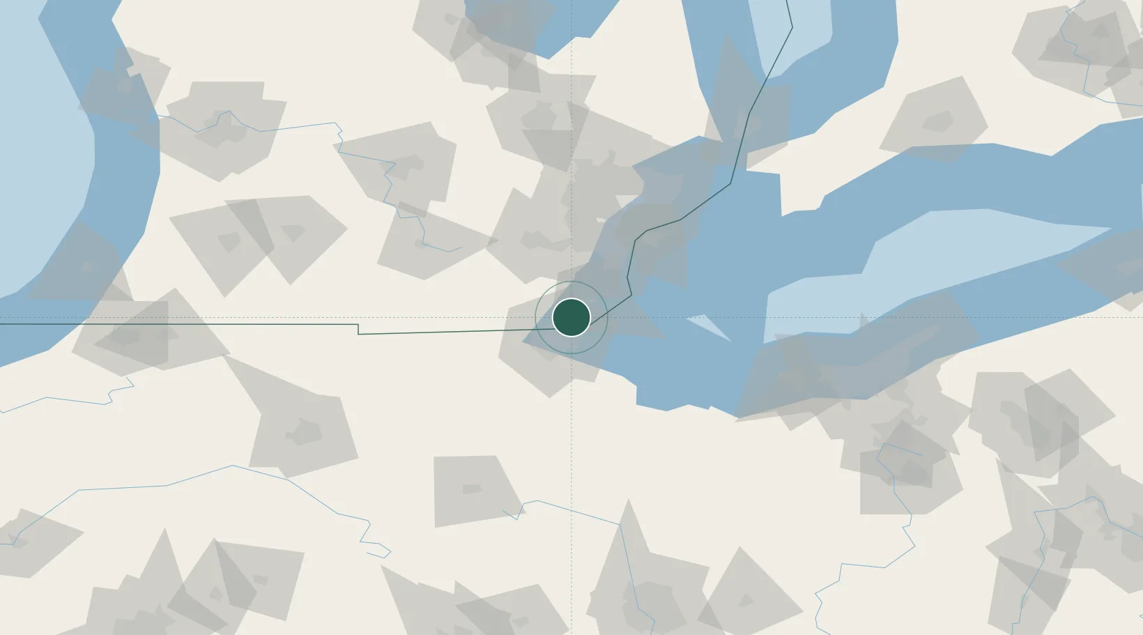
Hub Profile
Place type
Populated place
Region
Michigan
Time zone
America/Detroit
Elevation
180 m
Location
Nearby Logistics Neighbours
Cities
- 1Lambertville11 km
- 2Oregon19 km
- 3Sylvania19 km
- 4Ottawa Lake20 km
- 5Northwood, Wood22 km
Ports
- 1Toledo12 km
- 2Monroe17 km
- 3Trenton46 km
- 4Amherstburg47 km
- 5Wyandotte53 km
Airports
Trade Zones
- 1FTZ No. 008 Toledo17 km
- 2FTZ No. 070 Detroit65 km
- 3Windsor - Essex Foreign Trade Zone70 km
- 4FTZ No. 151 Findlay86 km
- 5FTZ No. 140 Flint137 km
DatabookThe Record of Consolidated Knowledge
United States beyond logistics?