Medium airport · Canada
Windsor International AirportCYQG
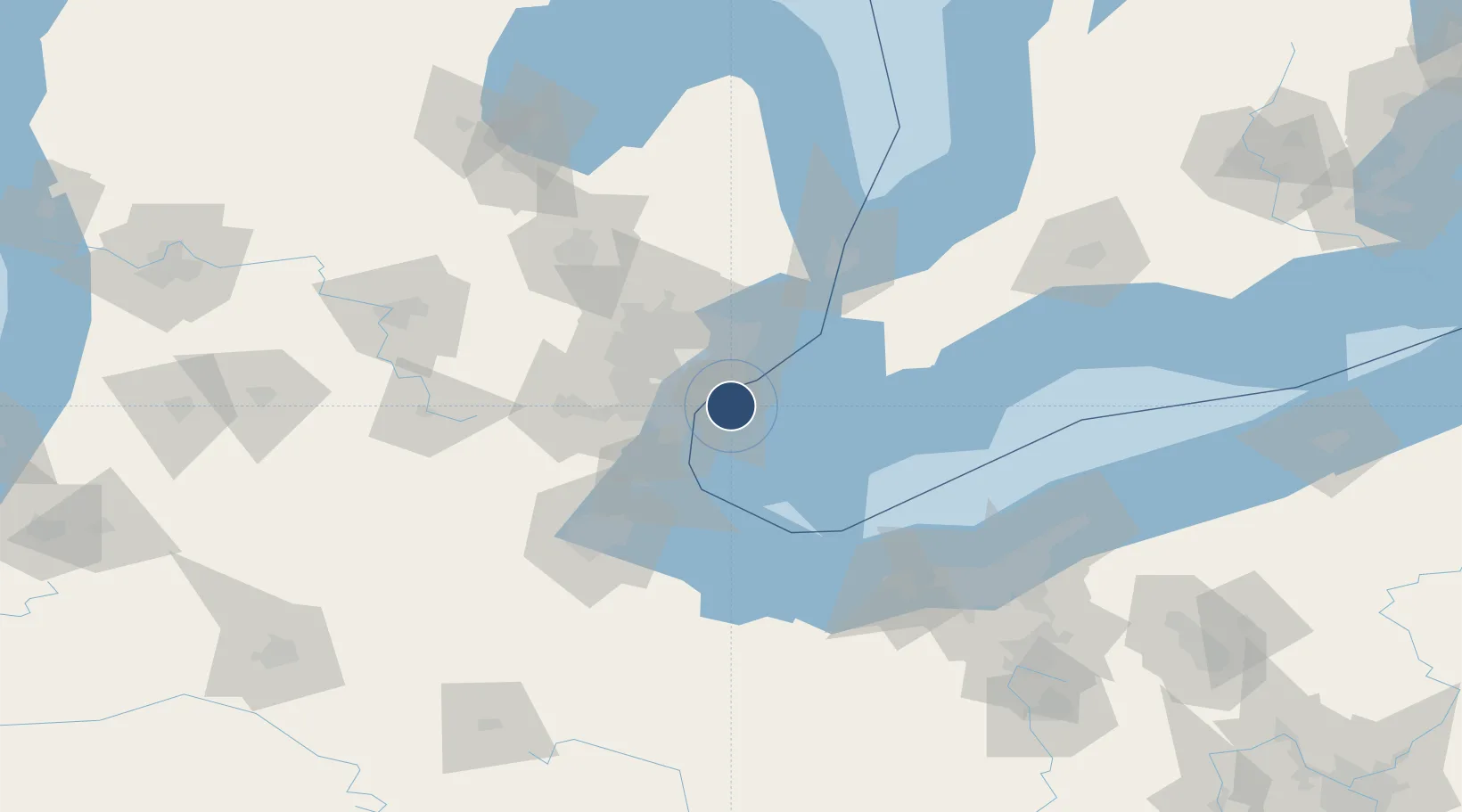
42.2756°, -82.9556°
9,000 ft
Longest runway
2
Runways
622 ft
Elevation
Runway & Layout

Radio Frequencies
ATIS
134.5 MHz
TWR
124.7 MHz
GND
121.7 MHz
A/D
126.85 MHz
DETROIT APP/DEP
A/G
124.7 MHz
MF
AAS
134.3 MHz
VFR ADVSY
RDO
126.7 MHz
LONDON RDO
Navaids
QG NDB Windsor 353 kHz
ZQG NDB Laurel 398 kHz
Runways · 2
| Runway | Dimensions | Surface | True heading | Lit |
|---|---|---|---|---|
| 07/25 | 9,000 × 200ft | Asphalt | 062° | ✓ |
| 12/30 | 5,150 × 150ft | Asphalt | 116° | ✓ |
Airport Specifications
IATA code
YQG
ICAO code
CYQG
Airport class
Medium airport
Scheduled service
Yes
Runway surface
Asphalt
Served city
Windsor
Location
Nearby Logistics Neighbours
Airports
Cities
- 1Maidstone9 km
- 2McGregor14 km
- 3Emeryville16 km
- 4Melvindale17 km
- 5Grosse Point Woods18 km
Ports
- 1Windsor8 km
- 2Detroit9 km
- 3Wyandotte18 km
- 4Amherstburg23 km
- 5Trenton24 km
Trade Zones
- 1Windsor - Essex Foreign Trade Zone8 km
- 2FTZ No. 070 Detroit25 km
- 3FTZ No. 210 St. Clair County71 km
- 4FTZ No. 008 Toledo84 km
- 5FTZ No. 140 Flint105 km
DatabookThe Record of Consolidated Knowledge
Canada beyond logistics?