Small airport · Canada

Pelee Island AirportCYPT
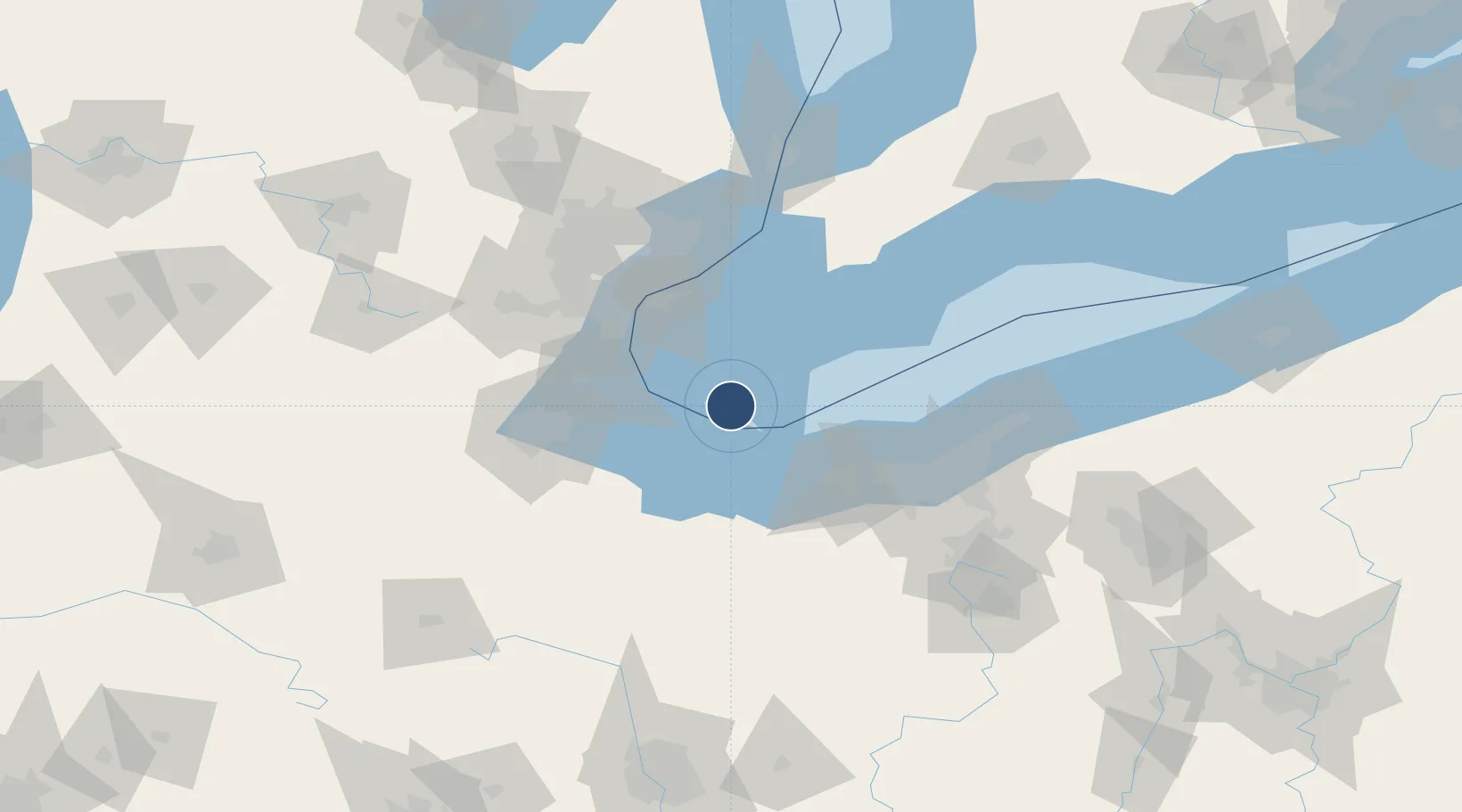
41.7780°, -82.6742°
3,300 ft
Longest runway
2
Runways
572 ft
Elevation

Runway & Layout

Pelee Island Airport runway & taxiway layout
Runway & taxiway layout — OpenStreetMap (ODbL) / OurAirports

Radio Frequencies

CNTR
126.35 MHz
CLEVELAND CNTR
UNIC
123.2 MHz
ATF/UNICOM
OurAirports

Runways · 2

RunwayDimensions SurfaceTrue headingLit
10/28 3,300 × 75ft Asphalt 090°
19/01 1,850 × 20ft Gravel 179°
OurAirports

Airport Specifications

ICAO code
CYPT
OurAirports
Airport class
Small airport
OurAirports
Scheduled service
Yes
OurAirports
Runway surface
Asphalt
OurAirports
Served city
Pelee Island
OurAirports

Location

Location of CYPT
Natural Earth 10m (public domain) · Ontario · CYPT · 41.78, -82.67GoogleOSMYandex

Nearby Logistics Neighbours

Airports
  1. 1Kelleys Island Land Field20 km
  2. 2Erie-Ottawa International Airport33 km
  3. 3Windsor International Airport60 km
  4. 4Detroit Metropolitan Wayne County Airport74 km
  5. 5Coleman A. Young Municipal Airport76 km
Nearest neighbours — logibook spatial index (haversine) over the source coordinates
Cities
  1. 1Put-In-Bay19 km
  2. 2Sandusky, Erie38 km
  3. 3McGregor47 km
  4. 4Vermilion48 km
  5. 5Northfield49 km
Nearest neighbours — logibook spatial index (haversine) over the source coordinates
Ports
  1. 1Pelee I North Wharf4 km
  2. 2Put In Bay19 km
  3. 3Kingsville27 km
  4. 4Leamington29 km
  5. 5Port Clinton36 km
Nearest neighbours — logibook spatial index (haversine) over the source coordinates
Trade Zones
  1. 1Windsor - Essex Foreign Trade Zone67 km
  2. 2FTZ No. 008 Toledo72 km
  3. 3FTZ No. 040 Cleveland76 km
  4. 4FTZ No. 070 Detroit79 km
  5. 5FTZ No. 210 St. Clair County118 km
Nearest neighbours — logibook spatial index (haversine) over the source coordinates
DatabookThe Record of Consolidated Knowledge
Canada beyond logistics?
Browse databook

All Sources

AirportsOurAirports
Public domain
Portsthe NGA World Port Index
Public domain (US gov)
LocationsUN/LOCODE
UN/LOCODE — free
Trade Zonesthe World Bank SEZ database
CC BY 4.0
Trade ZonesOpen Zone Map
CC BY
InfrastructureOpenStreetMap
ODbL 1.0
← Canada airports