UN/LOCODE hub · United States
USRW2
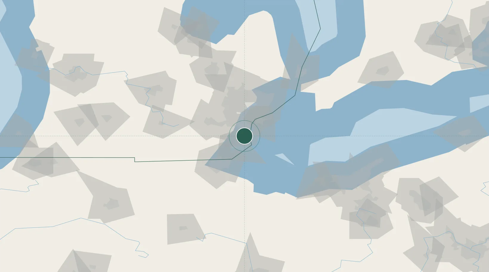
Rockwood
42.0667°, -83.2333°
3,199
Population
2
Transport functions
Transport Functions
Rail
Road
Hub Profile
Place type
Populated place
Region
Michigan
Population
3,199
Time zone
America/Detroit
Elevation
179 m
Location
Nearby Logistics Neighbours
Cities
- 1South Rockwood3 km
- 2Gibraltar5 km
- 3Woodhaven7 km
- 4Newport9 km
- 5Brownstown Township10 km
Ports
- 1Trenton9 km
- 2Amherstburg12 km
- 3Wyandotte16 km
- 4Monroe22 km
- 5Windsor32 km
Airports
Trade Zones
- 1FTZ No. 070 Detroit32 km
- 2Windsor - Essex Foreign Trade Zone33 km
- 3FTZ No. 008 Toledo52 km
- 4FTZ No. 210 St. Clair County103 km
- 5FTZ No. 140 Flint114 km
DatabookThe Record of Consolidated Knowledge
United States beyond logistics?