Channel & Berth Profile
Pilotage, Tugs & Services
Pilotage compulsoryYES
Tug assistanceYES
Salvage tugsNO
Potable waterYES
Facilities & Capabilities
Container—
Ro-Ro—
Liquid bulk—
Dry bulk—
Oil terminal—
Break bulk—
Dry dock—
Repairs—
Bunkering—
Rail linkYES
Dangerous cargo—
ISPS security—
Harbour Specifications
Harbour size
Very Small
Harbour type
River (Natural)
Shelter
Excellent
Water body
Lake Erie; Great Lakes
Overhead limit
Yes
Pilotage
Yes
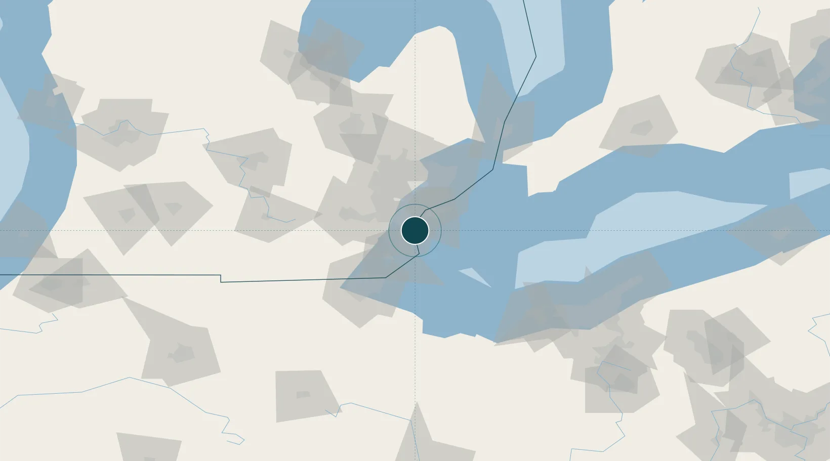
Location
Nearby Logistics Neighbours
Ports
- 1Amherstburg7 km
- 2Wyandotte8 km
- 3Windsor23 km
- 4Detroit25 km
- 5Monroe31 km
Cities
- 1Woodhaven6 km
- 2Gibraltar6 km
- 3Brownstown Township9 km
- 4Rockwood9 km
- 5South Rockwood11 km
Airports
Trade Zones
- 1Windsor - Essex Foreign Trade Zone24 km
- 2FTZ No. 070 Detroit25 km
- 3FTZ No. 008 Toledo61 km
- 4FTZ No. 210 St. Clair County94 km
- 5FTZ No. 140 Flint109 km
DatabookThe Record of Consolidated Knowledge
United States beyond logistics?