Transport Functions
Rail
Road
Multimodal
Hub Profile
Place type
Populated place
Region
Michigan
Time zone
America/Detroit
Elevation
178 m
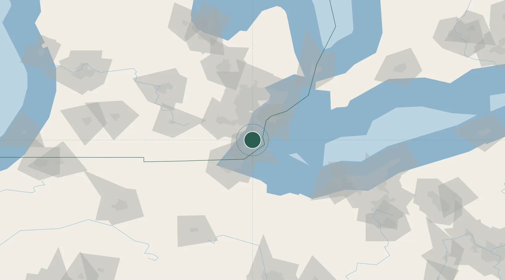
Location
Nearby Logistics Neighbours
Cities
- 1South Rockwood8 km
- 2Rockwood9 km
- 3Gibraltar13 km
- 4Woodhaven16 km
- 5Brownstown Township17 km
Ports
- 1Monroe13 km
- 2Trenton19 km
- 3Amherstburg20 km
- 4Wyandotte26 km
- 5Toledo36 km
Airports
Trade Zones
- 1FTZ No. 070 Detroit40 km
- 2Windsor - Essex Foreign Trade Zone42 km
- 3FTZ No. 008 Toledo43 km
- 4FTZ No. 151 Findlay112 km
- 5FTZ No. 210 St. Clair County112 km
DatabookThe Record of Consolidated Knowledge
United States beyond logistics?