Channel & Berth Profile
Pilotage, Tugs & Services
Pilotage compulsoryYES
Diesel bunkersYES
MedicalYES
Facilities & Capabilities
Container—
Ro-Ro—
Liquid bulk—
Dry bulk—
Oil terminal—
Break bulk—
Dry dock—
Repairs—
BunkeringYES
Rail link—
Dangerous cargo—
ISPS security—
Harbour Specifications
Harbour size
Very Small
Harbour type
River (Natural)
Shelter
Good
Water body
North Atlantic Ocean
Tidal range
1.8 m
Overhead limit
Yes
Pilotage
Yes
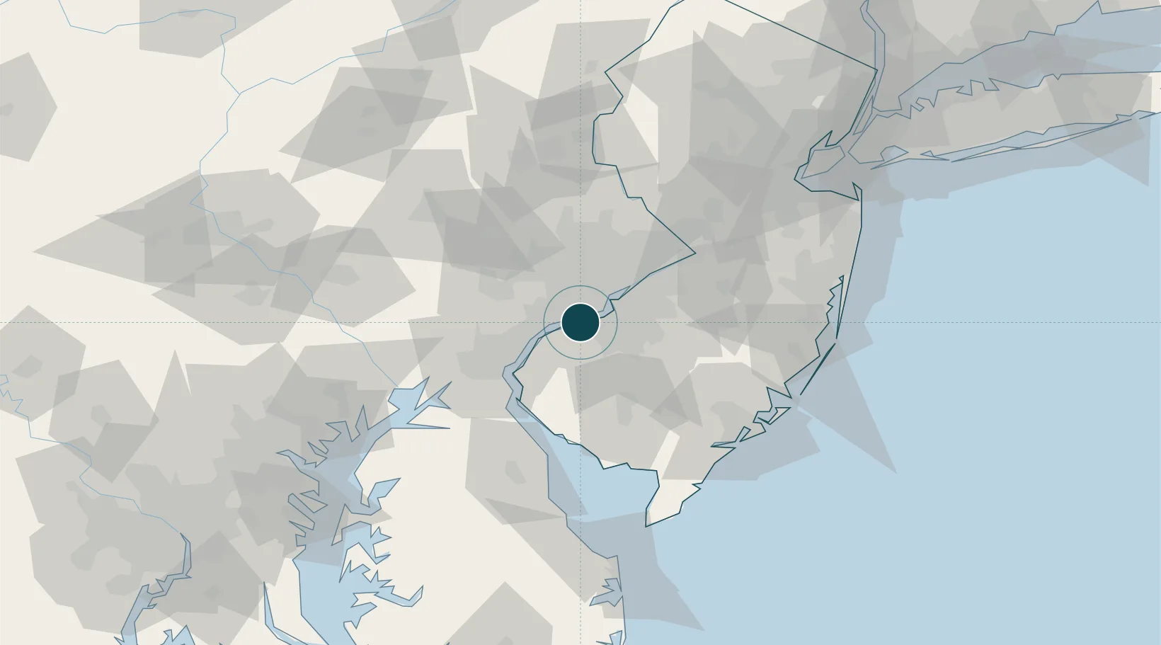
Location
Nearby Logistics Neighbours
Ports
- 1Chester9 km
- 2Gloucester11 km
- 3Marcus Hook15 km
- 4Philadelphia15 km
- 5Camden15 km
Cities
- 1Norwood6 km
- 2Prospect Park6 km
- 3Secane9 km
- 4Lansdowne9 km
- 5Wenonah10 km
Airports
Trade Zones
- 1FTZ No. 035 Philadelphia17 km
- 2FTZ No. 099 Wilmington28 km
- 3FTZ No. 142 Salem Millville52 km
- 4FTZ No. 200 Mercer County59 km
- 5FTZ No. 235 Lakewood90 km
DatabookThe Record of Consolidated Knowledge
United States beyond logistics?