Medium airport · United States

Trenton Mercer AirportKTTN
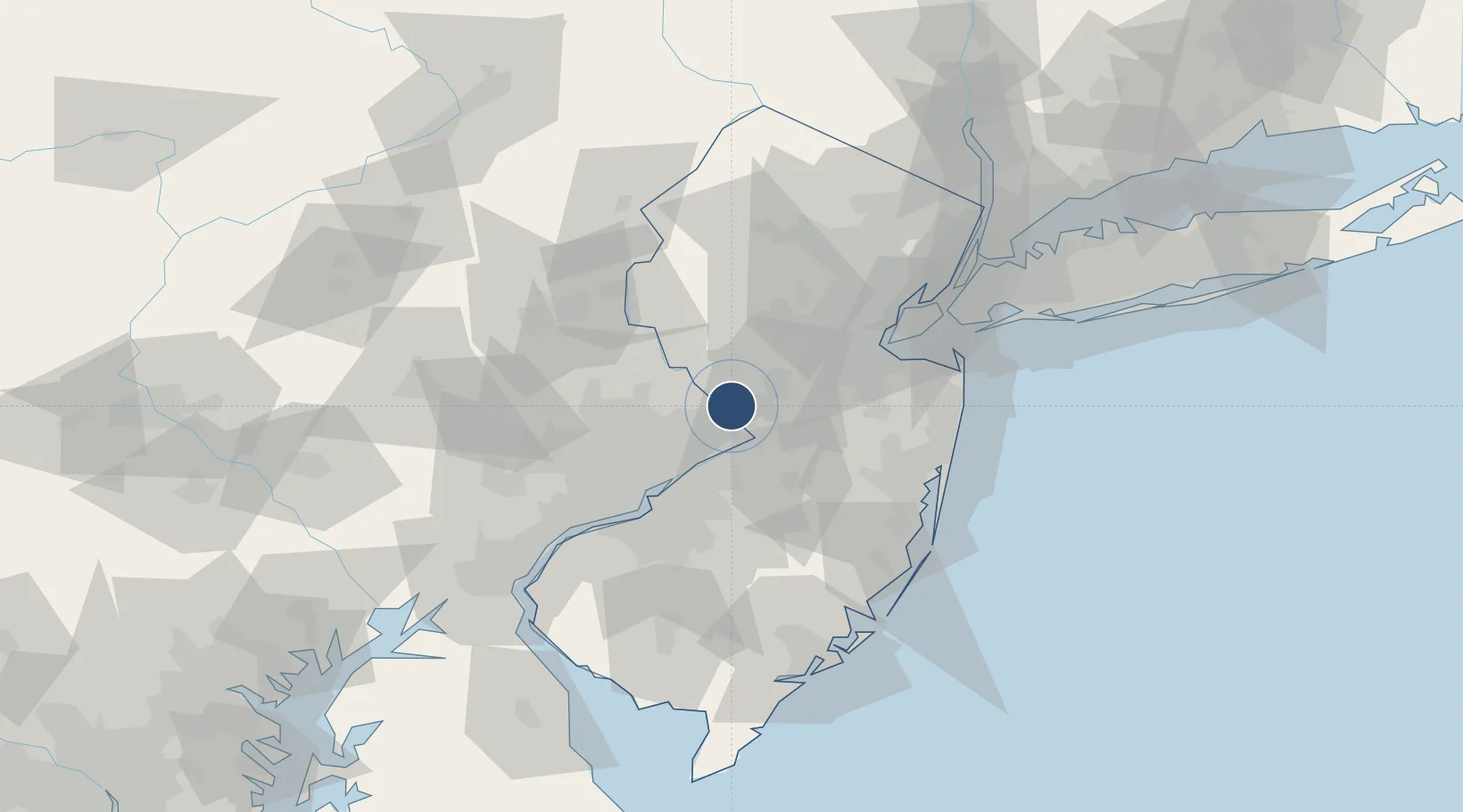
40.2767°, -74.8135°
6,006 ft
Longest runway
2
Runways
213 ft
Elevation

Runway & Layout

Trenton Mercer Airport runway & taxiway layout
Runway & taxiway layout — OpenStreetMap (ODbL) / OurAirports

Radio Frequencies

ATIS
126.775 MHz
ASOS
126.775 MHz
TWR
120.7 MHz
GND
121.9 MHz
GND/CLNC DEL
CTAF
120.7 MHz
A/D
123.8 MHz
PHILADELPHIA APP/DEP
UNIC
122.95 MHz
UNICOM
OurAirports

Navaids

ARD VOR-DME Yardley 108.20 MHz
TT NDB Trenn 369 kHz
OurAirports

Runways · 2

RunwayDimensions SurfaceTrue headingLit
06/24 6,006 × 150ft Asphalt 047°
16/34 4,800 × 150ft Asphalt 146°
OurAirports

Airport Specifications

IATA code
TTN
OurAirports
ICAO code
KTTN
OurAirports
Airport class
Medium airport
OurAirports
Scheduled service
Yes
OurAirports
Runway surface
Asphalt
OurAirports
Served city
Ewing Township
OurAirports

Location

Location of KTTN
Natural Earth 10m (public domain) · New Jersey · KTTN · 40.28, -74.81GoogleOSMYandex

Nearby Logistics Neighbours

Airports
  1. 1Northeast Philadelphia Airport27 km
  2. 2Mc Guire Air Force Base35 km
  3. 3Lakehurst Maxfield Field Airport48 km
  4. 4Philadelphia International Airport58 km
  5. 5Morristown Municipal Airport67 km
Nearest neighbours — logibook spatial index (haversine) over the source coordinates
Cities
  1. 1Ewing2 km
  2. 2Yardley4 km
  3. 3Millstone Township9 km
  4. 4Rosemont10 km
  5. 5Hamilton Square13 km
Nearest neighbours — logibook spatial index (haversine) over the source coordinates
Ports
  1. 1Trenton9 km
  2. 2Bristol20 km
  3. 3Burlington22 km
  4. 4Sayreville43 km
  5. 5Philadelphia45 km
Nearest neighbours — logibook spatial index (haversine) over the source coordinates
Trade Zones
  1. 1FTZ No. 200 Mercer County3 km
  2. 2FTZ No. 035 Philadelphia49 km
  3. 3FTZ No. 235 Lakewood54 km
  4. 4FTZ No. 044 Morris County66 km
  5. 5FTZ No. 049 Newark Elizabeth71 km
Nearest neighbours — logibook spatial index (haversine) over the source coordinates
DatabookThe Record of Consolidated Knowledge
United States beyond logistics?
Browse databook

All Sources

AirportsOurAirports
Public domain
Portsthe NGA World Port Index
Public domain (US gov)
LocationsUN/LOCODE
UN/LOCODE — free
Trade Zonesthe World Bank SEZ database
CC BY 4.0
Trade ZonesOpen Zone Map
CC BY
InfrastructureOpenStreetMap
ODbL 1.0
← United States airports