Transport Functions
Port
Rail
Road
Multimodal
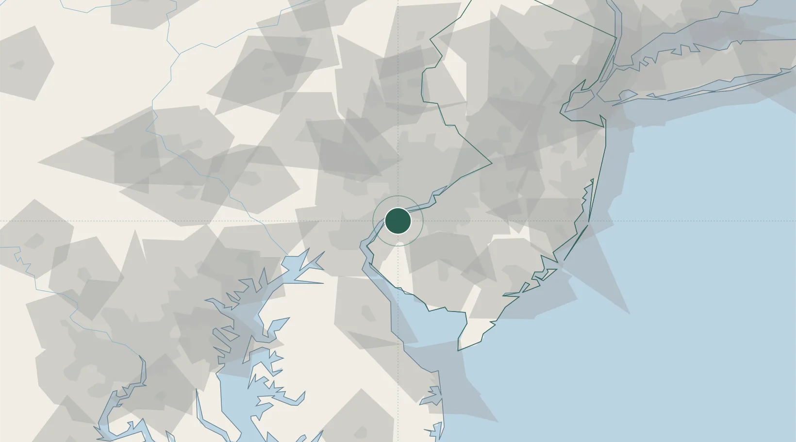
Hub Profile
Region
NJ
Location
Nearby Logistics Neighbours
Cities
- 1Prospect2 km
- 2Township of Woolwich6 km
- 3Marcus Hook7 km
- 4Norwood12 km
- 5Prospect Park12 km
Ports
- 1Marcus Hook7 km
- 2Chester7 km
- 3Paulsboro11 km
- 4Deepwater Point17 km
- 5Salem Nj17 km
Airports
Trade Zones
- 1FTZ No. 099 Wilmington17 km
- 2FTZ No. 035 Philadelphia26 km
- 3FTZ No. 142 Salem Millville48 km
- 4FTZ No. 200 Mercer County70 km
- 5FTZ No. 235 Lakewood100 km
DatabookThe Record of Consolidated Knowledge
United States beyond logistics?