Transport Functions
Multimodal
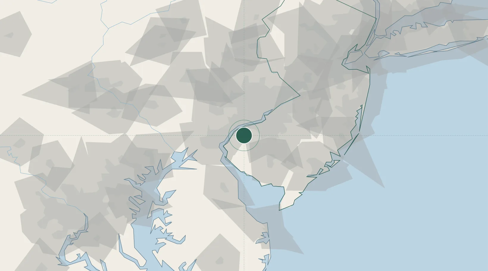
Hub Profile
Region
NJ
Location
Nearby Logistics Neighbours
Cities
- 1Logan Township6 km
- 2Prospect8 km
- 3Woodstown9 km
- 4Marcus Hook12 km
- 5Mantua15 km
Ports
- 1Marcus Hook12 km
- 2Chester13 km
- 3Paulsboro15 km
- 4Salem Nj15 km
- 5Deepwater Point16 km
Airports
Trade Zones
- 1FTZ No. 099 Wilmington18 km
- 2FTZ No. 035 Philadelphia31 km
- 3FTZ No. 142 Salem Millville42 km
- 4FTZ No. 200 Mercer County73 km
- 5FTZ No. 235 Lakewood101 km
DatabookThe Record of Consolidated Knowledge
United States beyond logistics?